Hodgenville in Larue County, Kentucky — The American South (East South Central)
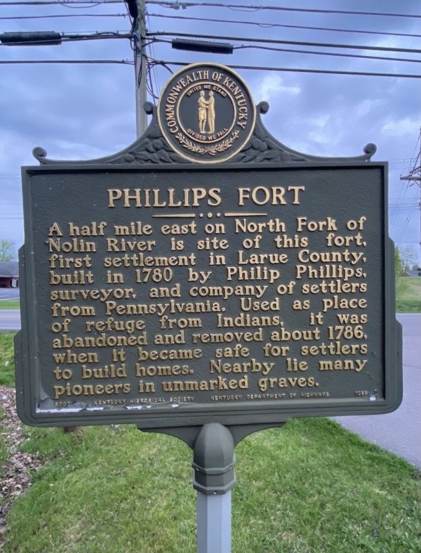
Phillips Fort
Erected 2007 by Kentucky Historical Society and Kentucky Department of Highways. (Marker Number 1098.)
Topics and series. This historical marker is listed in these topic lists: Cemeteries & Burial Sites • Forts and Castles • Settlements & Settlers. In addition, it is included in the Kentucky Historical Society series list. A significant historical year for this entry is 1780.
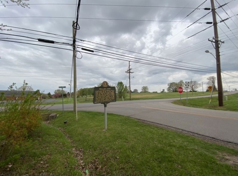
Location. 37° 34.898′ N, 85° 44.235′ W. Marker is in Hodgenville, Kentucky, in Larue County. Marker is at the intersection of North Lincoln Boulevard and Phillips Lane (Kentucky Route 2217), on the right when traveling north on North Lincoln Boulevard. Touch for map. Marker is at or near this postal address: 611 North Lincoln Blvd, Hodgenville KY 42748, United States of America. Touch for directions.
Other nearby markers. At least 8 other markers are within 4 miles of this marker, measured as the crow flies. Hodgenville (approx. 0.4 miles away); Courthouse Burned (approx. 0.6 miles away); Lincoln and Hodgen's Mill (approx. 0.6 miles away); Abraham Lincoln - As - A - Boy Statue (approx. 0.6 miles away); Two Miles South of this town Abraham Lincoln was born ... (approx. 0.6 miles away); Larue County / County Officials --- 1843 (approx. 0.6 miles away); An Idyllic Frontier Scene (approx. 3˝ miles away); An Enduring Symbol (approx. 3˝ miles away). Touch for a list and map of all markers in Hodgenville.
Credits. This page was last revised on April 13, 2021. It was originally submitted on April 11, 2021, by Darren Jefferson Clay of Duluth, Georgia. This page has been viewed 586 times since then and 136 times this year. Last updated on April 13, 2021, by Bradley Owen of Morgantown, West Virginia. Photos: 1, 2. submitted on April 11, 2021, by Darren Jefferson Clay of Duluth, Georgia. • J. Makali Bruton was the editor who published this page.

