
Near Ann Arbor in Washtenaw County, Michigan — The American Midwest (Great Lakes)
St. John's Evangelical Lutheran Church
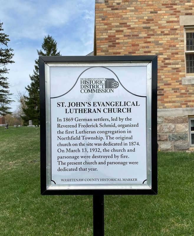
Photographed by J.T. Lambrou, April 9, 2021
1. St. John's Evangelical Lutheran Church Marker
Erected by Washtenaw County Historic District Commission.
Topics. This historical marker is listed in these topic lists: Religion & Religious Structures • Settlements & Settlers. A significant historical year for this entry is 1874.
Location. 42° 21.585′ N, 83° 42.213′ W. Marker is near Ann Arbor, Michigan, in Washtenaw County. It is at the intersection of East Northfield Church Road and Sutton Road, on the right when traveling west on East Northfield Church Road. Touch for map. Marker is at or near this postal address: 2945 E Northfield Church Rd, Ann Arbor MI 48105, United States of America. Touch for directions.

Regionally, this marker is in Southeast Michigan and in Greater Detroit. It is also in the American Midwest and on the Great Lakes. Globally, it is in North America, the Western Hemisphere,
this page online
Other nearby markers. At least 8 other markers are within 5 miles of this marker, measured as the crow flies: St. Patrick's Civil War Memorial (approx. 2.4 miles away); St. Patrick's Church (approx. 2.4 miles away); Dixboro United Methodist Church (approx. 4 miles away); Dixboro School (approx. 4.1 miles away); Village of Dixboro (approx. 4.1 miles away); Oak Grove Cemetery (approx. 4.2 miles away); Michigan Municipal League (approx. 4.3 miles away); South Salem Stone School (approx. 4.9 miles away). Touch for a list and map of all markers in Ann Arbor.
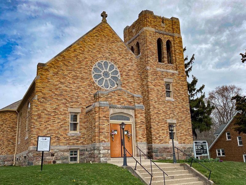
Photographed by J.T. Lambrou, April 9, 2021
2. St. John's Evangelical Lutheran Church Marker
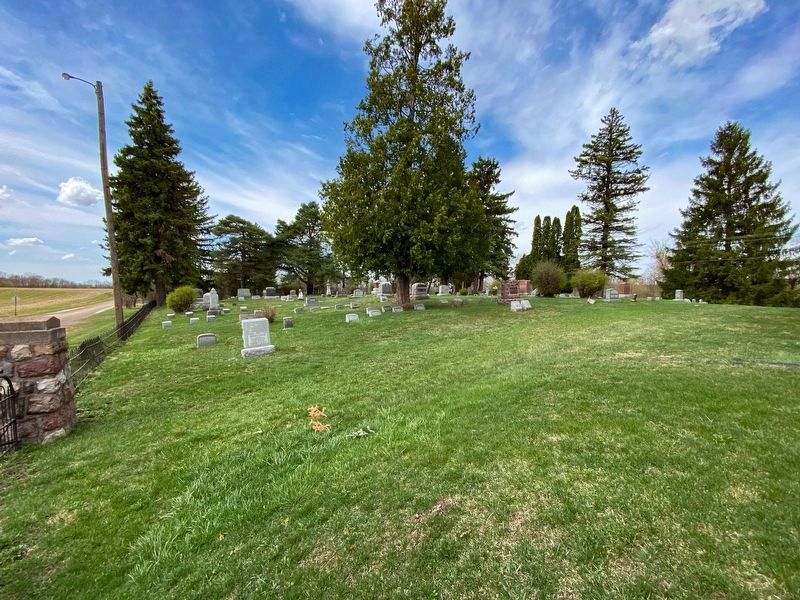
Photographed by J.T. Lambrou, April 9, 2021
3. St. John's Evangelical Lutheran Church Cemetery
Credits. This page was last revised on April 14, 2021. It was originally submitted on April 13, 2021, by J.T. Lambrou of New Boston, Michigan. This page has been viewed 428 times since then and 34 times this year. Photos: 1, 2, 3. submitted on April 13, 2021, by J.T. Lambrou of New Boston, Michigan. • Mark Hilton was the editor who published this page.
