Sodus in Wayne County, New York — The American Northeast (Mid-Atlantic)
Former Railbed
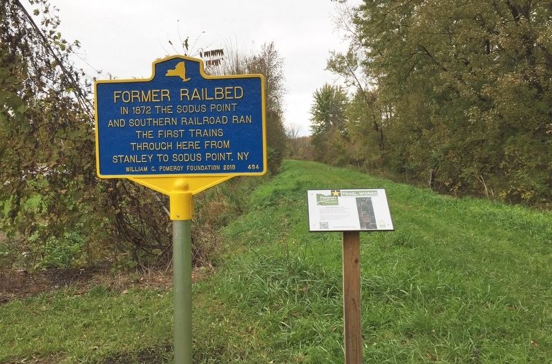
October 25, 2018
1. Former Railbed Marker
Erected 2018 by William G. Pomeroy Foundation. (Marker Number 494.)
Topics and series. This historical marker is listed in this topic list: Railroads & Streetcars. In addition, it is included in the William G. Pomeroy Foundation series list. A significant historical year for this entry is 1872.
Location. 43° 13.322′ N, 77° 0.746′ W. Marker is in Sodus, New York, in Wayne County. It is at the intersection of North Geneva Road and Ridge Road, on the left when traveling south on North Geneva Road. Located at the trailhead for the Sodus-Wallington Trail, off of N Geneva Road. Touch for map. Marker is in this post office area: Sodus NY 14551, United States of America. Touch for directions.

Regionally, this marker is in Upstate New York, specifically in Western New York, in the Finger Lakes, and in the Rochester Metropolitan Area. It is also in the American Northeast and in the Mid-Atlantic. Globally, it is in North America, on the Great Lakes, in the Western Hemisphere, in the Western World, and
this page online
Other nearby markers. At least 8 other markers are within 4 miles of this marker, measured as the crow flies: Black Community (approx. 2½ miles away); Cobblestone Architecture (approx. 3 miles away); The Sodus Point Coal Trestle (approx. 3.2 miles away); Historic Sodus Point Mural (approx. 3.3 miles away); Patriot Burials (approx. 3.3 miles away); Blessing of the Murals (approx. 3.6 miles away); The Battle of Sodus Point (approx. 3.6 miles away); Native American Fishing Mural (approx. 3.6 miles away). Touch for a list and map of all markers in Sodus.
Another marker is no longer nearby. Underground RR (was approx. 3 miles away but has been confirmed missing).
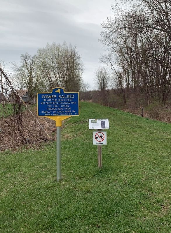
Photographed by Steve Stoessel, April 12, 2021
2. Former Railbed Marker
Credits. This page was last revised on April 20, 2021. It was originally submitted on April 25, 2019, by Deryn Pomeroy of Syracuse, New York. This page has been viewed 229 times since then and 13 times this year. Last updated on April 13, 2021, by Steve Stoessel of Niskayuna, New York. Photos: 1. submitted on April 25, 2019, by Deryn Pomeroy of Syracuse, New York. 2. submitted on April 13, 2021, by Steve Stoessel of Niskayuna, New York. • J. Makali Bruton was the editor who published this page.
