Canton in Haywood County, North Carolina — The American South (South Atlantic)
Morning Star Church
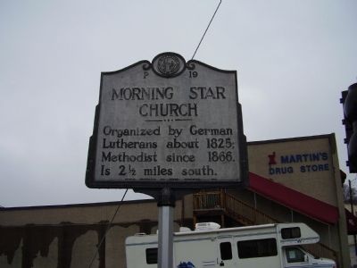
Photographed by Stanley and Terrie Howard, March 14, 2009
1. Morning Star Church Marker
Erected 1949 by Archives Conservation and Highway Departments. (Marker Number P-19.)
Topics and series. This historical marker is listed in this topic list: Religion & Religious Structures. In addition, it is included in the North Carolina Division of Archives and History series list. A significant historical year for this entry is 1825.
Location. 35° 31.968′ N, 82° 50.329′ W. Marker is in Canton, North Carolina, in Haywood County. It is at the intersection of Park Street and Academy Street on Park Street. Touch for map. Marker is in this post office area: Canton NC 28716, United States of America. Touch for directions.

Regionally, this marker is in the Mountains, specifically in Greater Asheville, and in the Great Smoky Mountains. It is also in the American South, specifically in the Upper South, in Appalachia, and specifically in Southern Appalachia. Globally, it is in North America, the Western Hemisphere, the Western World, and the Anglosphere. Historically, it finds itself in what was once the original Cherokee
this page online
Other nearby markers. At least 8 other markers are within 4 miles of this marker, measured as the crow flies: The Canton Area History Museum (within shouting distance of this marker); Haywood County World War II Monument (within shouting distance of this marker); Colonial Theatre (about 300 feet away, measured in a direct line); Arnold Guyot (approx. 0.2 miles away); Locust Field Cemetery (approx. 0.3 miles away); Rutherford Trace (approx. 1½ miles away); Garden Creek (approx. 1.7 miles away); Osborne Boundary Oak Tree (approx. 3.2 miles away). Touch for a list and map of all markers in Canton.
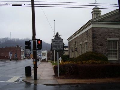
Photographed by Stanley and Terrie Howard, March 14, 2009
2. Morning Star Church Marker
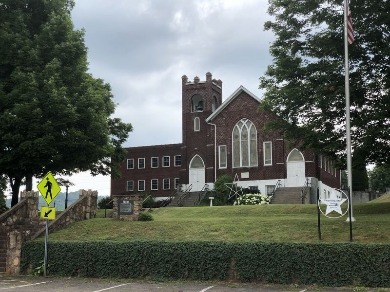
Photographed by Duane and Tracy Marsteller, June 25, 2023
3. Morning Star Church
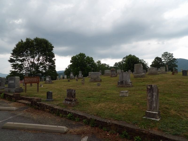
Photographed by Duane and Tracy Marsteller, June 25, 2023
4. Morning Star Church Cemetery
Credits. This page was last revised on July 28, 2023. It was originally submitted on March 16, 2009, by Stanley and Terrie Howard of Greer, South Carolina. This page has been viewed 1,316 times since then and 44 times this year. Photos: 1, 2. submitted on March 16, 2009, by Stanley and Terrie Howard of Greer, South Carolina. 3, 4. submitted on July 28, 2023, by Duane and Tracy Marsteller of Murfreesboro, Tennessee. • Kevin W. was the editor who published this page.
