Resaca in Gordon County, Georgia — The American South (South Atlantic)
South Toward Atlanta
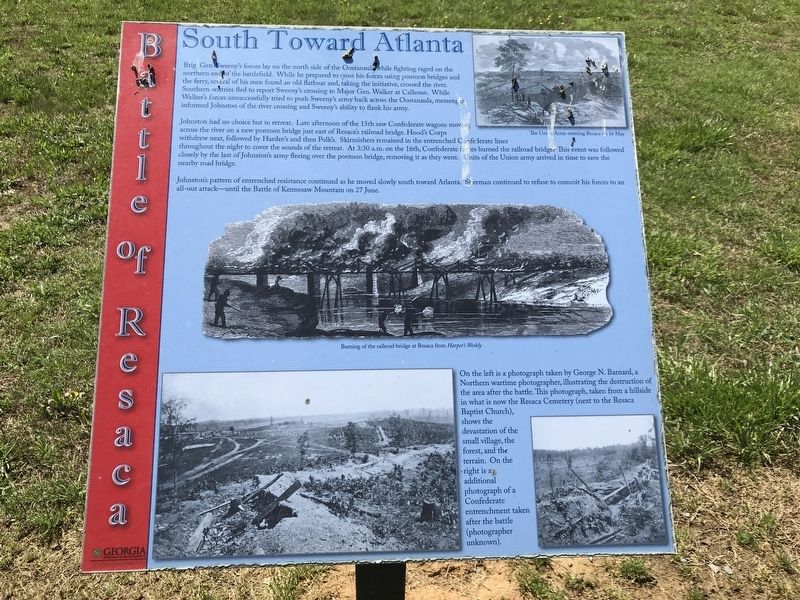
Johnston had no choice but to retreat. Late afternoon of the 15th saw Confederate wagons moving across the river on a new pontoon bridge just east of Resaca's railroad bridge. Hood's Corps withdrew next, followed by Hardee's and then Polk's. Skirmishers remained in the entrenched Confederate lines throughout the night to cover the sounds of the retreat. At 3:30 a.m. on the 16th, Confederate forces burned the railroad bridge. This event was followed closely by the last of Johnston's army fleeing over the pontoon bridge, removing it as they went. Units of the Union army arrived in time to save the nearby road bridge.
Johnston's pattern of entrenched resistance continued as he moved slowly south toward Atlanta. Sherman continued to refuse to commit his forces to an all-out attack — until the Battle of Kennesaw Mountain on 27 June.
Captions:
Top right: The Union Army entering Resaca on 16 May
Center: Burning of the railroad bridge at Resaca from Harper's Weekly
Bottom: On the left is a photograph taken by George N. Barnard, a Northern wartime photographer, illustrating the destruction of the area after the battle. This photograph, taken from a hillside in what is now the Resaca Cemetery (next to the Resaca Baptist Church), shows the devastation of the small village, the forest, and the terrain. On the right is an additional photograph of a Confederate entrenchment taken after the battle (photographer unknown).
Erected by Georgia Department of Natural Resources - State Parks and Historic Sites.
Topics. This historical marker is listed in this topic list: War, US Civil. A significant historical date for this entry is May 15, 1864.
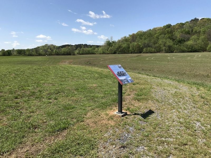
Location. 34° 34.922′ N, 84° 57.19′ W. Marker is in Resaca, Georgia, in Gordon County. Marker can be reached from Resaca Lafayette Road Northwest (Georgia Route 136). Marker is on the Loop Trail on the west side of the entrance road to Resaca Battlefield State Historic Site. Touch for map. Marker is at or near this postal address: 6 GA-136, Resaca GA 30735, United States of America. Touch for directions.
Other nearby markers. At least 8 other markers are within walking distance of this marker. Dancers in the Red Clay Minuet (within shouting distance of this marker); Logan's XV Corps to the South (about 400 feet away, measured in a direct line); Resaca — A Defensible Position (approx. 0.3 miles away); Crossing the Oostanaula at Lay's Ferry (approx. 0.3 miles away); The Road to Resaca (approx. 0.3 miles away); Battle of Resaca (approx. 0.3 miles away); Resaca Battlefield State Historic Site (approx. 0.3 miles away); a different marker also named Resaca Battlefield State Historic Site (approx. 0.3 miles away). Touch for a list and map of all markers in Resaca.
Credits. This page was last revised on April 14, 2021. It was originally submitted on April 14, 2021, by Duane and Tracy Marsteller of Murfreesboro, Tennessee. This page has been viewed 147 times since then and 11 times this year. Photos: 1, 2. submitted on April 14, 2021, by Duane and Tracy Marsteller of Murfreesboro, Tennessee.

