Resaca in Gordon County, Georgia — The American South (South Atlantic)
Resaca Battlefield State Historic Site
Inscription.
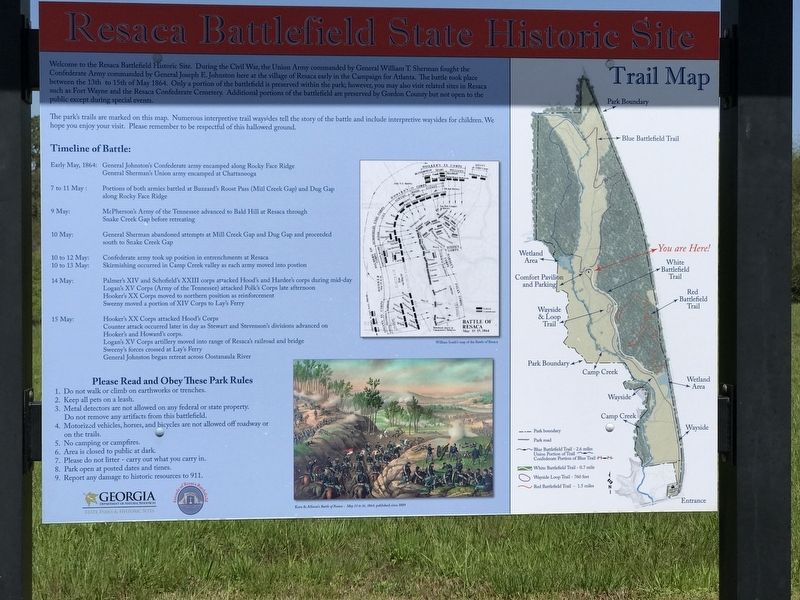
Welcome to the Resaca Battlefield Historic Site. During the Civil War, the Union Army commanded by General William T. Sherman fought the Confederate Army commanded by General Joseph E. Johnston here at the village of Resaca early in the Campaign for Atlanta. The battle took place between the 13th to 15th of May 1864. Only a portion of the battlefield is preserved within the park; however, you may also visit related sites in Resaca such as Fort Wayne and the Resaca Confederate Cemetery. Additional portions of the battlefield are preserved by Gordon County but not open to the public except during special events.
The park's trails are marked on this map. Numerous interpretive trail waysides tell the story of the battle and include interpretive waysides for children. We hope you enjoy your visit. Please remember to be respectful of this hallowed ground.
Timeline of Battle:
Early May, 1864: General Johnston's Confederate army encamped along Rocky Face Ridge • General Sherman's Union army camped at Chattanooga
7 to 11 May: Portions of both armies battled at Buzzard's Roost Pass (Mill Creek Gap) and Dug Gap along Rocky Face Ridge
9 May: McPherson's Army of the Tennessee advanced to Bald Hill at Resaca through Snake Creek Gap before retreating
10 May: General Sherman abandoned attempts at Mill Creek Gap and Dug Gap and proceeded south to Snake Creek Gap
10 to 12 May: Confederate army took up position in entrenchments at Resaca
10 to 13 May: Skirmishing occurred in Camp Creek valley as each army moved into position
14 May: Palmer's XIV and Schofield's XXIII corps attacked Hood's and Hardee's corps during mid-day • Logan's XV Corps (Army of the Tennessee) attacked Polk's Corps late afternoon • Hooker's XX Corps moved to northern position as reinforcement • Sweeny moved a portion of XIV Corps to Lay's Ferry
15 May: Hooker's XX Corps attacked Hood's Corps • Counter attack occurred later in day as Stewart and Stevenson's divisions advanced on Hooker's and Howard's corps. • Logan's XV Corps artillery moved into range of Resaca's railroad and bridge • Sweeny's forces crossed at Lay's Ferry • General Johnston began retreat across Oostanaula River
Please Read and Obey These Park Rules
1. Do not walk or climb on earthworks or trenches.
2. Keep all pets on a leash.
3. Metal detectors are not allowed on any federal or state property. Do not remove any artifacts from this battlefield.
4. Motorized vehicles, horses, and bicycles are not allowed off roadway or on the trails.
5. No camping or campfires.
6. Area is closed to public at dark.
7. Please do not litter — carry out what you carry in.
8. Park open at posted dates and times.
9. Report any damage to historic resources to 911.
Captions:
Top left: William Scaife's map of the Battle of Resaca
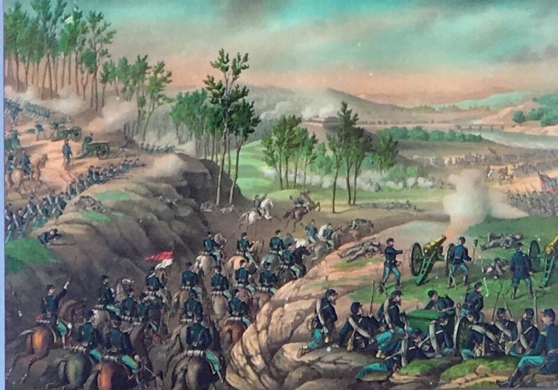
Bottom left: Kurz & Allison's Battle of Resaca — May 13 to 16, 1864, published circa 1889
Erected by Georgia Department of Natural Resources - State Parks and Historic Sites; Friends of Resaca Battlefield.
Topics. This historical marker is listed in this topic list: War, US Civil. A significant historical date for this entry is May 15, 1864.
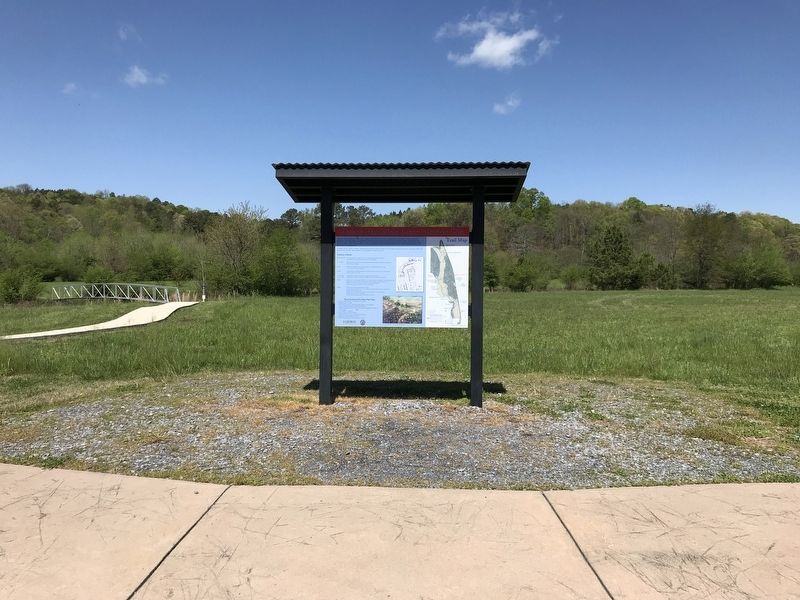
Location. 34° 35.713′ N, 84° 57.736′ W. Marker is in Resaca, Georgia, in Gordon County. Marker can be reached from Resaca Lafayette Road Northwest (Georgia Route 136). Marker is on the near the comfort station at the end of the Resaca Battlefield State Historic Site entrance road. Touch for map. Marker is at or near this postal address: 6 GA-136, Resaca GA 30735, United States of America. Touch for directions.
Other nearby markers. At least 8 other markers are within walking distance of this marker. Picturing a 19th-century Battle (within shouting distance of this marker); Did You Know That Both Sides Used Red, White and Blue Flags? (within shouting distance of this marker); Site of Action — Judah's Division (within shouting distance of this marker); Stories from the Wild Hills of Resaca (within shouting
distance of this marker); Enduring the Battle of Resaca (within shouting distance of this marker); Site of Action — Carlin's Brigade (approx. ¼ mile away); How to Tell the Yankees from the Rebels! (approx. ¼ mile away); 103rd O.V.I. (approx. 0.4 miles away). Touch for a list and map of all markers in Resaca.
Credits. This page was last revised on April 14, 2021. It was originally submitted on April 14, 2021, by Duane and Tracy Marsteller of Murfreesboro, Tennessee. This page has been viewed 186 times since then and 48 times this year. Photos: 1, 2, 3. submitted on April 14, 2021, by Duane and Tracy Marsteller of Murfreesboro, Tennessee.


