Center City in Toledo in Lucas County, Ohio — The American Midwest (Great Lakes)
James A. Rhodes Plaza
Governor - 1962-1970 and 1974-1982
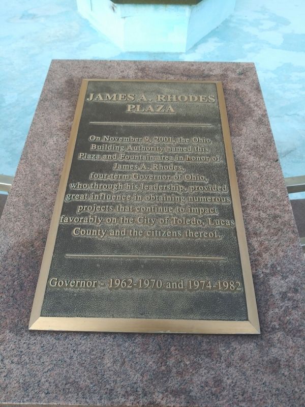
Photographed by Craig Doda, January 27, 2021
1. James A. Rhodes Plaza Marker
Topics. This historical marker is listed in this topic list: Government & Politics. A significant historical date for this entry is November 9, 2001.
Location. 41° 39.316′ N, 83° 32.102′ W. Marker is in Toledo, Ohio, in Lucas County. It is in Center City. It is on Jackson Street west of North Huron Street, on the right when traveling west. Touch for map. Marker is in this post office area: Toledo OH 43604, United States of America. Touch for directions.

Regionally, this marker is on the Lake Erie Shore. It is also in the American Midwest and in the Corn Belt. Globally, it is in North America, on the Great Lakes, in the Western Hemisphere, in the Western World, and in the Anglosphere. Historically, it finds itself in what was once the Viceroyalty of New France, the Haudenosaunee (Iroquois) Confederacy,
this page online
Other nearby markers. At least 8 other markers are within walking distance of this marker: Project Blue Light (within shouting distance of this marker); Toledo (within shouting distance of this marker); Combat Veterans Wounded Memorial (about 400 feet away, measured in a direct line); Toledo and Lucas County World War Memorial Tree (about 400 feet away); The Blade (about 500 feet away); Viet Nam Peace Arch Memorial Plaza (about 500 feet away); Korean War Memorial (about 500 feet away); Spanish American War Memorial (about 500 feet away). Touch for a list and map of all markers in Toledo.
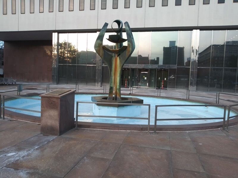
Photographed by Craig Doda, January 27, 2021
2. James A. Rhodes Plaza Marker
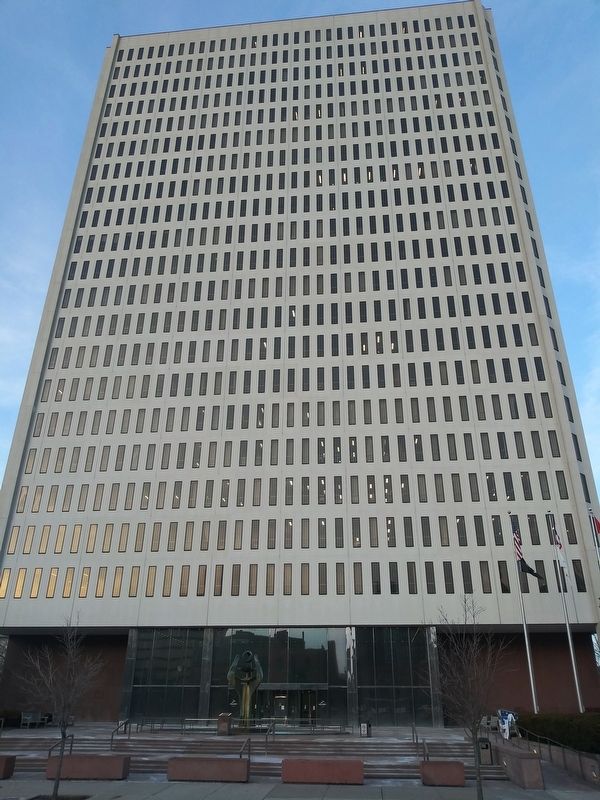
Photographed by Craig Doda, January 27, 2021
3. James A. Rhodes Plaza Marker
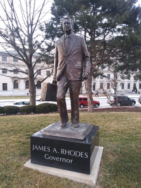
Photographed by Craig Doda, January 27, 2021
4. James A. Rhodes Plaza Marker
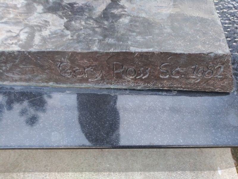
Photographed by Craig Doda, January 27, 2021
5. James A. Rhodes Plaza Marker
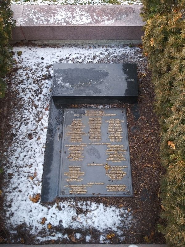
Photographed by Craig Doda, January 27, 2021
6. James A. Rhodes Plaza Marker
Credits. This page was last revised on February 4, 2023. It was originally submitted on April 14, 2021, by Craig Doda of Napoleon, Ohio. This page has been viewed 217 times since then and 25 times this year. Photos: 1, 2, 3, 4, 5, 6. submitted on April 14, 2021, by Craig Doda of Napoleon, Ohio. • Devry Becker Jones was the editor who published this page.
