Marker Logo HMdb.org THE HISTORICAL
MARKER DATABASE
“Bite-Size Bits of Local, National, and Global History”
Near Geary in Caddo County, Oklahoma — The American South (West South Central)
 

Oklahoma Federal Aid Project

No. 164-H


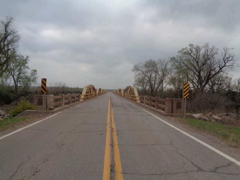
Oklahoma Federal Aid Project Marker image. Click for full size.
Photographed By Jason Voigt, April 9, 2021
1. Oklahoma Federal Aid Project Marker
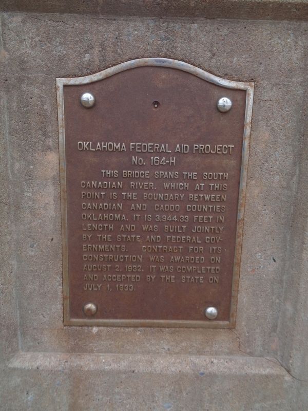
Inscription. This bridge spans the South Canadian River, which at this point is the boundary between Canadian and Caddo Counties Oklahoma. It is 3,944.33 feet in length and was built jointly by the state and federal governments. Contract for its construction was awarded on August 2, 1932. It was completed and accepted by the state on July 1, 1933.
 
Topics. This historical marker is listed in these topic lists: Bridges & ViaductsWaterways & Vessels. A significant historical date for this entry is August 2, 1932.
 
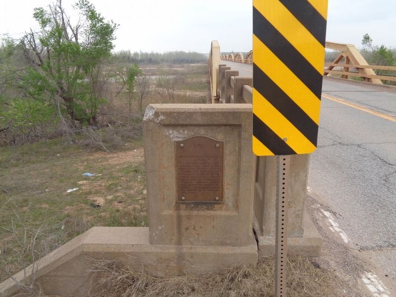
Location. 35° 32.827′ N, 98° 18.76′ W. Marker is near Geary, Oklahoma, in Caddo County. Marker is on U.S. 281, half a mile south of Old U.S. 66, on the left when traveling south. Marker is at the east end of the Canadian River Bridge. Touch for map. Marker is at or near this postal address: US-281, Geary OK 73040, United States of America. Touch for directions.
 
More about this marker. A duplicate marker is at the west end of the bridge.
 
Regarding Oklahoma Federal Aid Project. The Canadian River Bridge (its official name is the William H. Murray Bridge; also known as the Pony Bridge and Bridgeport Bridge) is believed to be the longest truss bridge in Oklahoma, and the longest active bridge on old U.S. Highway 66.
 
Paid Advertisement
Click on the ad for more information.
Please report objectionable advertising to the Editor.
Click or scan to see
this page online
Oklahoma Federal Aid Project Marker image. Click for full size.
Photographed By Jason Voigt, April 9, 2021
2. Oklahoma Federal Aid Project Marker
Marker is at the east end of the William H. Murray Bridge.
Oklahoma Federal Aid Project Marker image. Click for full size.
Photographed By Jason Voigt, April 9, 2021
3. Oklahoma Federal Aid Project Marker
A duplicate marker is found at the west end of the bridge.
 
 
Credits. This page was last revised on April 14, 2021. It was originally submitted on April 14, 2021, by Jason Voigt of Glen Carbon, Illinois. This page has been viewed 372 times since then and 25 times this year. Photos:   1, 2, 3. submitted on April 14, 2021, by Jason Voigt of Glen Carbon, Illinois.
Share this page.  
Share on Tumblr
m=171053

CeraNet Cloud Computing sponsors the Historical Marker Database.
This website earns income from purchases you make after using our links to Amazon.com. We appreciate your support.
Paid Advertisement
May. 5, 2024