French Quarter in New Orleans in Orleans Parish, Louisiana — The American South (West South Central)
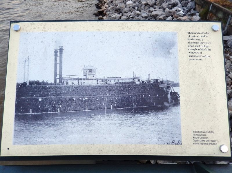
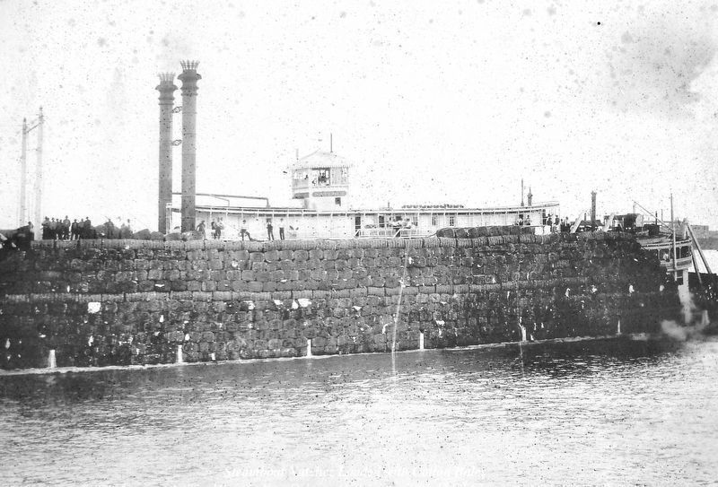
Riverboat Cotton Bales
Erected by The New Orleans Historic Collection, Captain Clarke "Doc" Hawley and the Steamboat Natchez.
Topics. This historical marker is listed in these topic lists: Industry & Commerce • Waterways & Vessels.
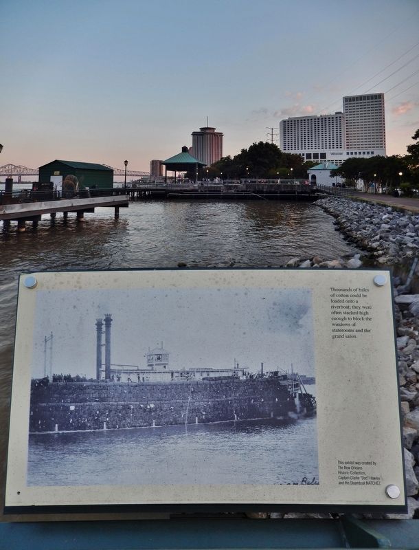
Location. 29° 57.302′ N, 90° 3.758′ W. Marker is in New Orleans, Louisiana, in Orleans Parish. It is in the French Quarter. Marker can be reached from Toulouse Street east of Decatur Street, on the right when traveling east. Marker is located along the Mississippi Riverwalk, on the Mississippi River Pier at Woldenberg Park. Touch for map. Marker is at or near this postal address: 400 Toulouse Street, New Orleans LA 70130, United States of America. Touch for directions.
Other nearby markers. At least 8 other markers are within walking distance of this marker. Sugar Wharves at the Port (here, next to this marker); Natchez Steamboats (a few steps from this marker); Picayune Pier (within shouting distance of this marker); Work Begins on New Orleans, Spring 1718 (about 400 feet away, measured in a direct line); Transatlantic Slave Trade to Louisiana (about 500 feet away); Execution of Jean Baptiste Baudrau II (about 600 feet away); Importer's Bonded Warehouses - Henry Howard, Architect (about 600 feet away); The Steamer New Orleans (about 600 feet away). Touch for a list and map of all markers in New Orleans.
Also see . . .
1. Loading Cotton onto Steamboats. (annotated photo gallery of loading cotton onto steamboats) (Submitted on April 15, 2021, by Cosmos Mariner of Cape Canaveral, Florida.)
2. Slavery and King Cotton. Cotton emerged as the antebellum South’s major commercial crop, eclipsing tobacco, rice, and sugar in economic importance. By 1860, the region produced two-thirds of the world’s cotton. Demand in the industrial textile mills of Great Britain and New England seemed inexhaustible. Southern cotton, picked and processed by American slaves, upheld the wealth and power of the planter elite while it fueled the nineteenth-century Industrial Revolution in both the United States and Great Britain. (Submitted on April 15, 2021, by Cosmos Mariner of Cape Canaveral, Florida.)
Credits. This page was last revised on February 12, 2023. It was originally submitted on April 15, 2021, by Cosmos Mariner of Cape Canaveral, Florida. This page has been viewed 207 times since then and 28 times this year. Photos: 1, 2, 3. submitted on April 15, 2021, by Cosmos Mariner of Cape Canaveral, Florida.


