Near El Reno in Canadian County, Oklahoma — The American South (West South Central)
Fort Reno
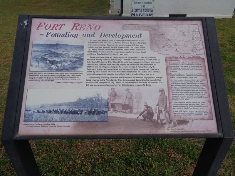
Founding and Development
Custer and the troops left Camp Supply on November 23, 1868, in a blinding snowfall, leaving Sheridan at the Camp. The first winter camp they found turned out to be that of Cheyenne Chief Black Kettle. After the engagement, Custer took many captives and returned them to Camp Supply. No provisions had been made for captives and no Cheyenne/Arapaho Reservation existed. Rather hurriedly the Darlington Agency was established and the captives were transferred. They were joined by other Indians who were forced into reservation life. At this time, all major reservations required a supporting military fort - thus Fort Reno was born.
Immediately following the Black Kettle/Battle of the Washita engagement, a larger force returned to the Washita site. They then engaged Comanche, Kiowa and other hostile tribes near present day Lawton. In similar fashion, Sheridan established Fort Sill and a new reservation nearby. Fort Sill ultimately replaced Ft. Cobb.
(sidebar:)
Later Events -
• On September 9, 1878 more than 350 Indians fled Darlington Agency lead by Chiefs Dull Knife and Little Wolf. They passed through Kansas and Nebraska trying to return to their northern home. The Indians were pursued by every cavalry post in between.
• The old Post Cemetery dates back to the Fort's origins. Among others, Chief of Scouts Ben Clark and his Cheyenne wife are buried there.
• Fort Reno became a Remount Station operated by the Quartermaster Corps on May 25, 1908. The next 33 years of peace time operations at the Fort were relatively stable. With the beginning of WWII, the Army re-activated three Remount Stations, including Fort Reno. Horse cavalry continued to play a role in the early years of the war because it took two to three years to develop, equip and train the first American Tank Corps. During this time, thousands of horses and mules were bought, trained and shipped, mainly to the Italian Mountain Campaign and to Burma.
• Also during World War II a German and Italian Prisoner of War Camp was built at Fort Reno. Military police ran the Camp. Deceased prisoners were buried in the old Post Cemetery area.
• In July 1948, the Fort became a grasslands and livestock experiment station, operated by
the US Department of Agriculture and Oklahoma State University.
(photo caption:)
In the early years of the fort system on the Plains, both Calvary and Infantry troops lived in tents until permanent structures were built. Tents housed men and provided working quarters, including kitchens, hospitals, etc. Fort Reno would have looked similar to Camp Supply, as it is pictured by Harper's Weekly, February 27, 1869.
Topics. This historical marker is listed in these topic lists: Forts and Castles • Native Americans. A significant historical date for this entry is February 27, 1869.
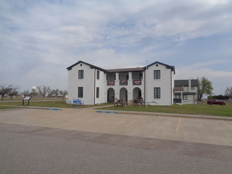
Location. 35° 33.662′ N, 98° 2.012′ W. Marker is near El Reno, Oklahoma, in Canadian County. Marker is located at the Historic Fort Reno site, in front of the Visitors Center. Touch for map. Marker is at or near this postal address: 7107 West Cheyenne Street, El Reno OK 73036, United States of America. Touch for directions.
Other nearby markers. At least 8 other markers are within walking distance of this marker. The Chisholm Trail and Fort Reno (within shouting distance of this marker); 1876 Officers' Quarters (within shouting distance of this marker); a different marker also named Fort Reno (within shouting distance of this marker); School and Chapel/Home of Ben & Moka Clark (within shouting distance of this marker); Commanding Officer's Quarters/BlueSTEM AgriLearning Center (about 400 feet away,
measured in a direct line); Adjutant Office (about 700 feet away); Hospital/USDA ARS Grazinglands Research Laboratory Administration Building (about 700 feet away); Chapel (about 700 feet away). Touch for a list and map of all markers in El Reno.
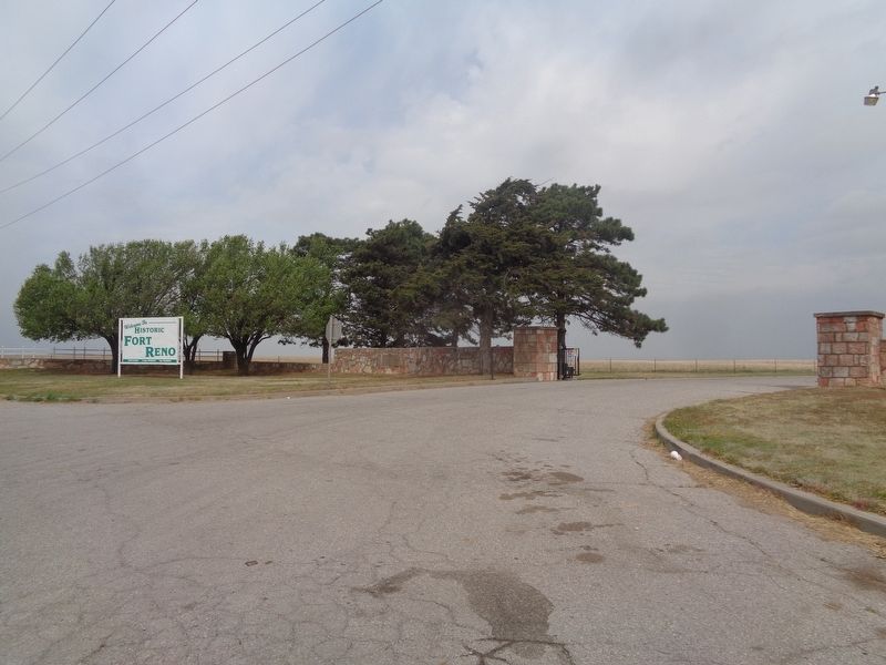
Regarding Fort Reno. The Historic Fort Reno site entrance is located off the intersection of old Highway 66 and Business Route 40/OK-66, on Old Highway 66. The actual site with the structures and Visitors Center is 1.5 miles north of the entrance. Please keep in mind that the gates are open for a limited time every day, and they are closed at 4:30pm.
Also see . . . Historic Fort Reno. Official website. Contains lots of history and photos. Fort Reno is a historic military post established in 1874 to protect the Cheyenne and Arapaho tribes. It would later become an agricultural research station, and a German prisoner of war camp during World War II. The site has a visitors center, a walking tour, cemetery, and holds events throughout the year. (Submitted on April 16, 2021, by Jason Voigt of Glen Carbon, Illinois.)
Credits. This page was last revised on April 16, 2021. It was originally submitted on April 15, 2021, by Jason Voigt of Glen Carbon, Illinois. This page has been viewed 187 times since then and 22 times this year. Photos: 1, 2. submitted on April 15, 2021, by Jason Voigt of Glen Carbon, Illinois. 3. submitted on April 16, 2021, by Jason Voigt of Glen Carbon, Illinois.


