Port Arthur in Jefferson County, Texas — The American South (West South Central)
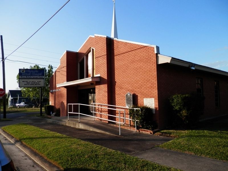
Israel Chapel A.M.E. Church
Photographed by Cajun Scrambler, April 5, 2021
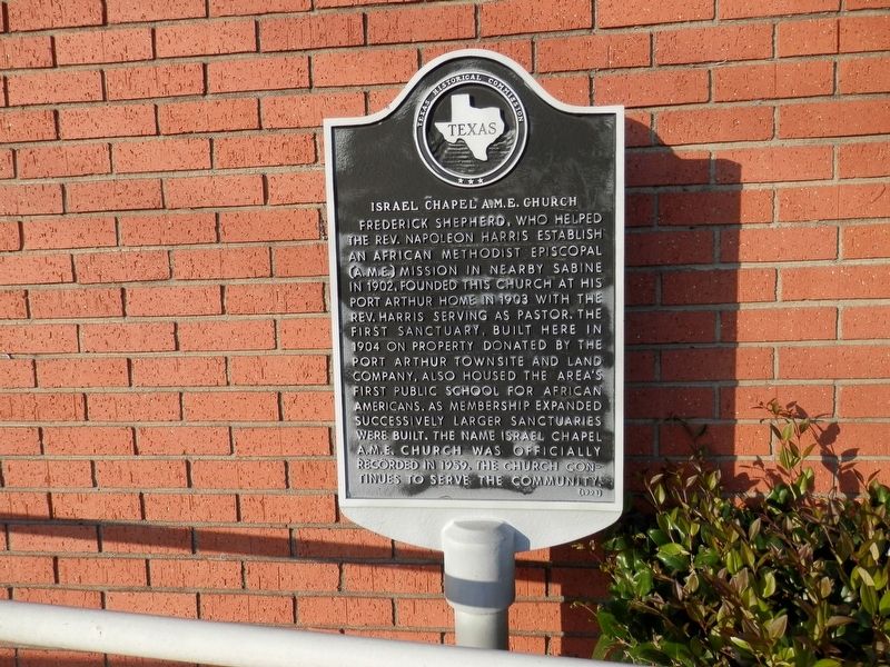
1. Israel Chapel A.M.E. Church Marker
Frederick Shepherd, who helped the Rev. Napoleon Harris establish an African Methodist Episcopal (A. M. E.) mission in nearby Sabine in 1902, founded this church at his Port Arthur home in 1903 with the Rev. Harris serving as pastor. The first sanctuary, built here in 1904 on property donated by the Port Arthur Townsite and Land Company, also housed the area's first public school for African Americans. As membership expanded successively larger sanctuaries were built. the name Israel Chapel A. M. E. Church was officially recorded in 1959. The church continues to serve the community.
Erected 1993 by Texas Historical Commission. (Marker Number 10535.)
Topics. This historical marker is listed in this topic list: Religion & Religious Structures.
Location. 29° 52.131′ N, 93° 56.761′ W. Marker is in Port Arthur, Texas, in Jefferson County. It is on Texas Avenue near 10th Street. Touch for map. Marker is at or near this postal address: 948 Texas Avenue, Port Arthur TX 77640, United States of America. Touch for directions.

Regionally, this marker is in the Golden Triangle.
this page online
Other nearby markers. At least 8 other markers are within 2 miles of this marker, measured as the crow flies: St. Paul United Methodist Church (about 500 feet away, measured in a direct line); Rock Island Baptist Church (about 600 feet away); The Kansas City Southern Railway in Port Arthur (approx. half a mile away); Port Arthur-Beaumont Interurban Railway (approx. 0.7 miles away); Remembering Ancestors (approx. ¾ mile away); South County Office Building (approx. 0.8 miles away); Francis John (Frank) Trost (approx. 0.9 miles away); Lakeshore/Lions Park (approx. 1.3 miles away). Touch for a list and map of all markers in Port Arthur.
Photographed by Cajun Scrambler, April 5, 2021
2. Israel Chapel A.M.E. Church Marker
Credits. This page was last revised on April 17, 2021. It was originally submitted on April 17, 2021, by Cajun Scrambler of Assumption, Louisiana. This page has been viewed 445 times since then and 23 times this year. Photos: 1, 2. submitted on April 17, 2021, by Cajun Scrambler of Assumption, Louisiana.
