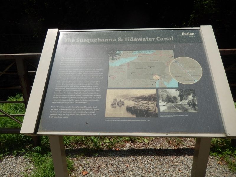
The Susquehanna & Tidewater Canal
North America's vast network of rivers provided Native Americans and European settlers alike with their earliest transportation routes. Early in the nineteenth century with overland routes only crudely developed and railroads not yet spanning the continent, rivers continued as the most practical way to transport goods and people.
However, not all rivers were navigable, and even those that were often has stretches of water where rocky shoals or other hazards made navigation difficult. Beginning in 1794, American entrepreneurs built a network of canals with government help. These canals stretched to over 4,000 miles long and linked the great waterways east of the Mississippi.
The Susquehanna (Pennsylvania section) and Tidewater (Maryland section) Canal was completed in 1841. Horses and mules plodded the towpath, pulling boats, which typically carried coal, lumber, iron, limestone, bricks, millstones, marble, coffee, grain, fish, salt, or passengers. The route covered 45 miles along the west shore of the Susquehanna River between Wrightsville, Pennsylvania, and Havre de Grace, Maryland. Most of the goods or passengers were headed to or from Philadelphia or Baltimore, even though the canal was part of a network that extended all the way to the St. Lawrence River at the Canadian border, and west to St. Louis and beyond.
Never
a financial success, the Susquehanna and Tidewater Canal was leased to the Philadelphia and Reading Railroad in 1872. Floods, ice flows, economic depression, and competition from railroads spelled the end of the Susquehanna and Tidewater Canal. It was finally abandoned in 1894.America's 19th Century Canals
The basin at the northern end of the Susquehanna and Tidewater Canal at Wrightsville, c. 1885.
Courtesy of Pennsylvania State Archives
Teams of mules or horses walking on the towpath pulled the boats along the canal.
Courtesy of Pennsylvania State Archives
Topics and series. This historical marker is listed in this topic list: Waterways & Vessels. In addition, it is included in the Susquehanna and Tidewater Canal series list. A significant historical year for this entry is 1841.
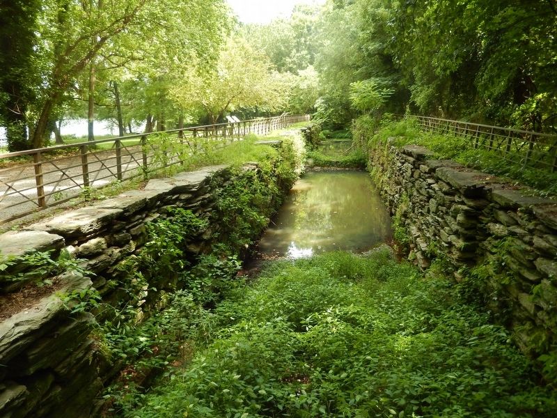
Location. 39° 48.015′ N, 76° 18.485′ W. Marker is near Airville, Pennsylvania, in York County. Marker can be reached from Riverside Road east of River Road. Marker is just north of Muddy Creek Access, in Lock 15 interpretive park. A walkway is available from either area's parking lot. The shortest route from southbound River Road is to go onto Riverside Drive at 330 River Road. Touch for map. Marker is in this post office area: Airville PA 17302, United States of America. Touch for directions.
Other nearby markers. At least 8 other markers are within 6 miles of this marker, measured as the crow flies. The Locks (here, next to this marker); The Canal Community (within shouting distance of this marker); The Canal Boats (within shouting distance of this marker); Parks are for People (approx. 1.3 miles away); Lock No. 12 (approx. 1.4 miles away); Survivor of the Past (approx. 1˝ miles away); The River, the Dams and the Lakes (approx. 2.9 miles away); Dedicated to the honor and sacrifice (approx. 5.1 miles away). Touch for a list and map of all markers in Airville.
Credits. This page was last revised on April 22, 2021. It was originally submitted on July 18, 2020, by Bill Pfingsten of Bel Air, Maryland. This page has been viewed 227 times since then and 25 times this year. Last updated on April 22, 2021, by Carl Gordon Moore Jr. of North East, Maryland. Photos: 1, 2, 3. submitted on July 18, 2020, by Bill Pfingsten of Bel Air, Maryland.


