Memorial to Displaced Rappahannock County Residents

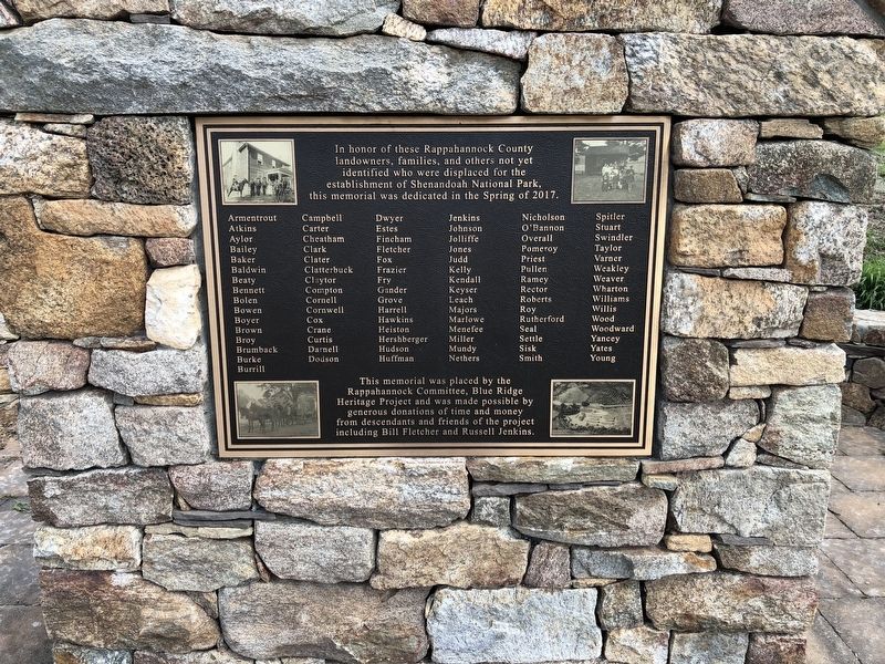
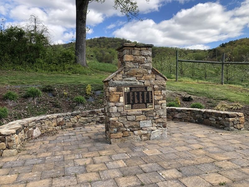
In honor of these Rappahannock County landowners, families, and others not yet identified who were displaced for the establishment of Shenandoah National Park, this memorial was dedicated in the Spring of 2017.
Armentrout
Atkins
Aylor
Bailey
Baker
Baldwin
Beaty
Bennett
Bolen
Bowen
Boyer
Brown
Broy
Brumback
Burke
Burrill
Campbell
Carter
Cheatham
Clark
Clater
Clatterbuck
Claytor
Compton
Cornell
Cornwell
Cox
Crane
Curtis
Darnell
Dodson
Dwyer
Estes
Fincham
Fletcher
Fox
Frazier
Fry
Gander
Grove
Harrell
Hawkins
Heiston
Hershberger
Hudson
Huffman
Jenkins
Johnson
Jolliffe
Jones
Judd
Kelly
Kendall
Keyser
Leach
Majors
Marlowe
Menefee
Miller
Mundy
Nethers
Nicholson
O'Bannon
Overall
Pomeroy
Priest
Pullen
Ramey
Rector
Roberts
Roy
Rutherford
Seal
Settle
Sisk
Smith
Spitler
Stuart
Swindler
Taylor
Varner
Weakley
Weaver
Wharton
Williams
Willis
Wood
Woodward
Yancey
Yates
Young
Erected 2017 by The Rappahannock Committee, Blue Ridge Heritage Project;
Topics. This historical marker is listed in these topic lists: Parks & Recreational Areas • Settlements & Settlers.
Location. 38° 39.154′ N, 78° 16.085′ W. Marker is in Sperryville, Virginia, in Rappahannock County. Marker is on Lee Highway (Route 211) one mile west of Pearl Lane, on the right when traveling west. Touch for map. Marker is at or near this postal address: 11586 Lee Hwy, Sperryville VA 22740, United States of America. Touch for directions.
Other nearby markers. At least 8 other markers are within 3 miles of this marker, measured as the crow flies. Cavalry Engagement (approx. 2 miles away); Sperryville (approx. 2.1 miles away); 21 Main Street (approx. 2.1 miles away); John B. Kiger (approx. 2.2 miles away); John Kiger's Second Lot (approx. 2.2 miles away); 31 Main Street (approx. 2.2 miles away); 33 Main Street (approx. 2.2 miles away); Medical Miracle (approx. 2.2 miles away). Touch for a list and map of all markers in Sperryville.

Credits. This page was last revised on April 18, 2021. It was originally submitted on April 18, 2021, by Devry Becker Jones of Washington, District of Columbia. This page has been viewed 304 times since then and 46 times this year. Photos: 1, 2. submitted on April 18, 2021, by Devry Becker Jones of Washington, District of Columbia.