Sandy in Salt Lake County, Utah — The American Mountains (Southwest)
Temple Quarry Amphitheater
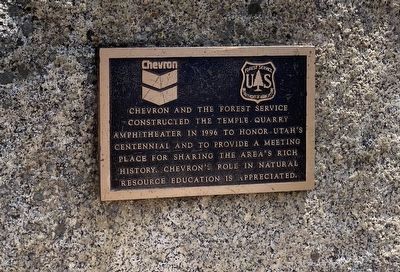
Photographed by Connor Olson, April 17, 2021
1. Temple Quarry Amphitheater Marker
Erected 1996 by Chevron and the US Forest Service, Department of Agriculture.
Topics. This historical marker is listed in this topic list: Notable Places.
Location. 40° 34.296′ N, 111° 46.452′ W. Marker is in Sandy, Utah, in Salt Lake County. It can be reached from Utah Route 210 near Route 209. Marker is located on the Temple Quarry Nature Trail. Touch for map. Marker is in this post office area: Sandy UT 84092, United States of America. Touch for directions.

Regionally, this marker is in the Wasatch Front and in Greater Salt Lake. It is also in the American Mountain West and on the Colorado Plateau. Globally, it is in North America, the Rocky Mountains, the Western Hemisphere, the Western World, and the Anglosphere. Historically, it finds itself in what was once New Spain and also Mexico’s Alta California.
this page online
Other nearby markers. At least 8 other markers are within 2 miles of this marker, measured as the crow flies: Temple Stone Quarry (a few steps from this marker); Welcome to the Temple Quarry Trail (within shouting distance of this marker); Your Roots (within shouting distance of this marker); Plugging into Water (within shouting distance of this marker); Temple Granite Quarry (about 300 feet away, measured in a direct line); a different marker also named Welcome to the Temple Quarry Trail (about 300 feet away); Rocky Mountain Goat Lookout (about 400 feet away); Granite Settlement (approx. 1.7 miles away). Touch for a list and map of all markers in Sandy.
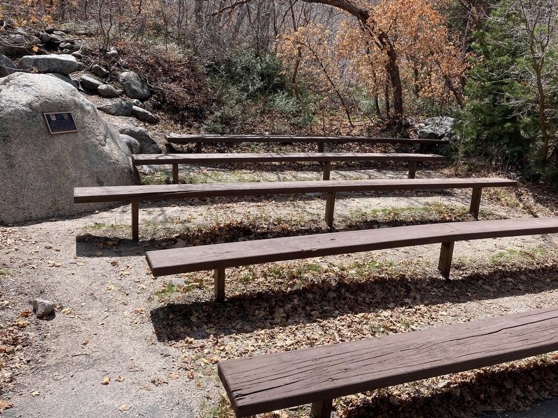
Photographed by Connor Olson, April 17, 2021
2. Temple Quarry Amphitheater Marker
Marker is located on the large rock to the left of the seating.
Credits. This page was last revised on April 28, 2021. It was originally submitted on April 19, 2021, by Connor Olson of Menomonee Falls, Wisconsin. This page has been viewed 1,748 times since then and 48 times this year. Photos: 1, 2. submitted on April 19, 2021, by Connor Olson of Menomonee Falls, Wisconsin. • Syd Whittle was the editor who published this page.
