Near Corinne in Box Elder County, Utah — The American Mountains (Southwest)
Chinese Arch
A Monument in Limestone
Photographed by Cosmos Mariner, June 17, 2013
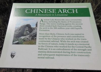
1. Chinese Arch marker
Ancient Lake Bonneville once covered this area, including the flanks of Promontory Range. The waves washing against the ancient shore eroded fault-fractured rocks, creating the arch in the 300-million-year-old Oquirrh Formation.
More than likely, Chinese Arch was named in recognition of the presence and contribution made by the Chinese who worked on the transcontinental railroad. While the arch was created by forces of nature, today it stands as a memorial to the Chinese who worked for the Central Pacific Railroad. It is an embodiment of the strength and stamina demonstrated during their construction and subsequent maintenance of the transcontinental railroad.
Erected by National Park Service.
Topics. This historical marker is listed in these topic lists: Asian Americans • Industry & Commerce • Railroads & Streetcars.
Location. 41° 37.691′ N, 112° 29.48′ W. Marker is near Corinne, Utah, in Box Elder County. It is on Promontory Trail 4½ miles west of Utah Route 83, on the left when traveling east. The Chinese Arch marker is located along the Promontory
this page online

Regionally, this marker is in the Cache Valley and in the West Desert. It is also in the American Mountain West and on the Colorado Plateau. Globally, it is in North America, the Rocky Mountains, the Western Hemisphere, the Western World, and the Anglosphere. Historically, it finds itself in what was once New Spain and also Mexico’s Alta California.
Other nearby markers. At least 8 other markers are within 4 miles of this marker, measured as the crow flies: The “Orange Special” Wreck (approx. 0.6 miles away); a different marker also named Big Fill Trail (approx. 0.6 miles away); The Last Cut (approx. 0.6 miles away); The Big Trestle (approx. one mile away); The Big Fill (approx. one mile away); The Track that United the States (approx. 1.2 miles away); Irish Monument (approx. 3.2 miles away); Original Rail (approx. 3.2 miles away). Touch for a list and map of all markers in Corinne.
Another
Photographed by Cosmos Mariner, June 17, 2013
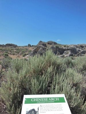
2. Chinese Arch marker
Chinese Arch can be seen in the background.
Also see . . .
1. The Chinese at Promontory, Utah, April 30 - May 10, 1869. (Submitted on October 8, 2013, by Cosmos Mariner of Cape Canaveral, Florida.)
2. Golden Spike National Historical Park. Wikipedia entry (Submitted on March 15, 2026, by Larry Gertner of New York, New York.)
Photographed by Cosmos Mariner, June 17, 2013
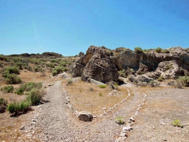
3. Chinese Arch trail
A short walking trail leads from the Promontory Trail Auto Route to the arch.
Photographed by Cosmos Mariner, June 17, 2013
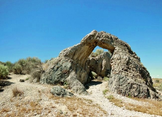
4. Chinese Arch
This naturally formed limestone arch was named to honor the thousands of Chinese immigrants who worked on the Central Pacific Railroad in the late 1860's.
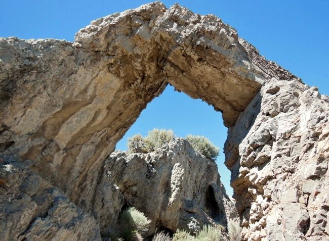
Photographed by Cosmos Mariner, June 17, 2013
5. Chinese Arch (closeup)
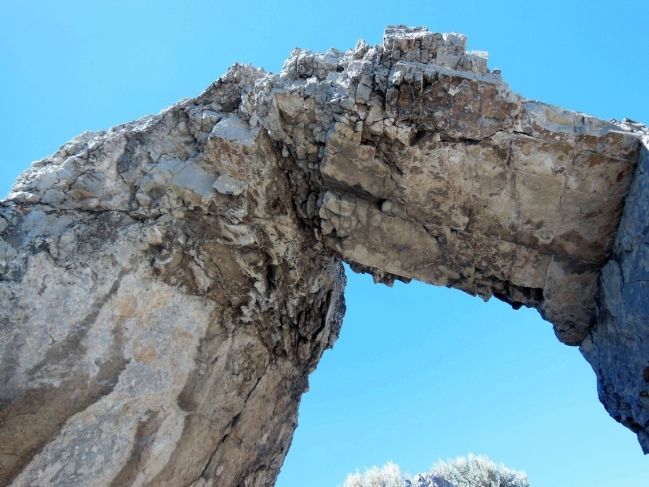
Photographed by Cosmos Mariner, June 17, 2013
6. Inside Chinese Arch
Credits. This page was last revised on March 15, 2026. It was originally submitted on October 8, 2013, by Cosmos Mariner of Cape Canaveral, Florida. This page has been viewed 2,352 times since then and 166 times this year. Last updated on April 19, 2021, by Connor Olson of Menomonee Falls, Wisconsin. Photos: 1, 2, 3, 4, 5, 6. submitted on October 8, 2013, by Cosmos Mariner of Cape Canaveral, Florida. • J. Makali Bruton was the editor who published this page.
