Near Highland in Utah County, Utah — The American Mountains (Southwest)
Upper American Fork Hydroelectric Power Plant
Inscription.
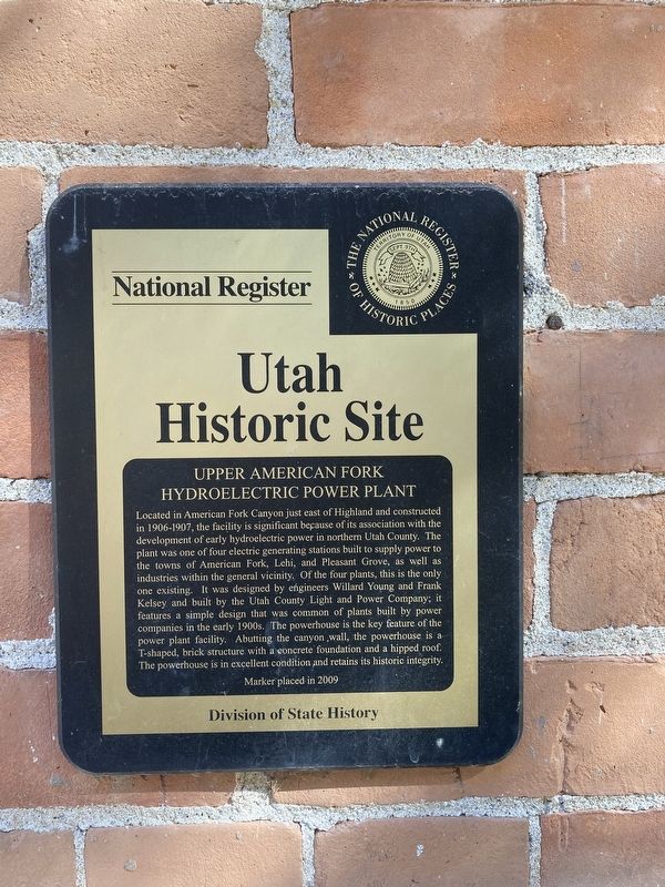
Located in American Fork Canyon just east of Highland and constructed
in 1906-1907, the facility is significant because of its association with the
development of early hydroelectric power in northern Utah County. The
plant was one of four electric generating stations built to supply power to
the towns of American Fork, Lehi, and Pleasant Grove, as well as
industries within the general vicinity. Of the four plants, this is the only
one existing. It was designed by engineers Willard Young and Frank
Kelsey and built by the Utah County Light and Power Company; it
features a simple design that was common of plants built by power
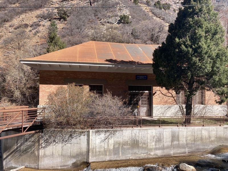
companies in the early 1900s. The powerhouse is the key feature of the
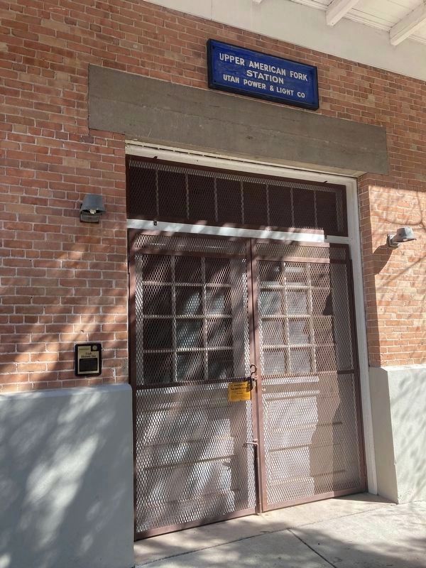
power plant facility. Abutting the canyon wall, the powerhouse is a
T-shaped, brick structure with a concrete foundation and a hipped roof.
The powerhouse is in excellent condition and retains its historic integrity.
Erected 2009 by Utah Division of State History.
Topics. This historical marker is listed in this topic list: Industry & Commerce. A significant historical year for this entry is 1906.
Location. 40° 26.269′ N, 111° 43.392′ W. Marker is near Highland, Utah, in Utah County. Marker is on Utah Route 92, on the left when traveling east. Touch for map. Marker is in this post office area: American Fork UT 84003, United States of America. Touch for directions.
Other nearby markers. At least 8 other markers are within 3 miles of this marker, measured as the crow flies. Native Restoration (approx. 0.8 miles away); A Shared Effort (approx. one mile away); Moyle House & Indian Tower (approx. 3 miles away); John Rowe Moyle in First Handcart Company (approx. 3 miles away); The Great Trek (approx. 3 miles away); John Rowe Moyle Tower Home and Surroundings (approx. 3 miles away); John Rowe Moyle (approx. 3 miles away); John Rowe Moyle Tower (approx. 3 miles away).
Credits. This page was last revised on April 28, 2021. It was originally submitted on April 20, 2021, by Connor Olson of Kewaskum, Wisconsin. This page has been viewed 123 times since then and 3 times this year. Photos: 1, 2, 3. submitted on April 20, 2021, by Connor Olson of Kewaskum, Wisconsin. • Syd Whittle was the editor who published this page.


