Bailers
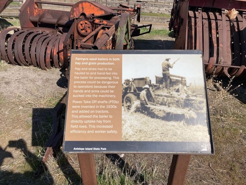
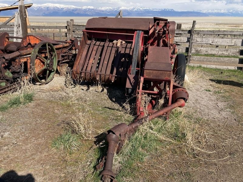
Farmers used bailers in both hay and grain production.
Hay and straw had to be
hauled to and hand-fed into
the baler for processing. This
process could be dangerous
to operators because their
hands and arms could be
sucked into the machinery.
Power Take Off shafts (PTOS)
were invented in the 1930s
and added on tractors.
This allowed the bailer to
directly uptake hay from
field rows. This increased
efficiency and worker safety.
Erected by Utah State Parks.
Topics. This historical marker is listed in this topic list: Agriculture.
Location. 40° 55.576′ N, 112° 10.012′ W. Marker is near Syracuse, Utah, in Davis County. It can be reached from Antelope Island Road. The marker is located at the Fielding Garr Ranch Historic Site, Antelope Island State Park. Touch for map. Marker is in this post office area: Syracuse UT 84075, United States of America. Touch for directions.
Regionally, this marker is in the Wasatch Front and in Greater Salt Lake. It is also in the American Mountain West and on the Colorado Plateau. Globally, it is in North America,
this page online
Other nearby markers. At least 8 other markers are within walking distance of this marker: Horse-Drawn Wagons (here, next to this marker); Combines (within shouting distance of this marker); Sickle Mowers (within shouting distance of this marker); The Fielding Garr Ranch (within shouting distance of this marker); Transportation (within shouting distance of this marker); Trucks (within shouting distance of this marker); Tractors (about 300 feet away, measured in a direct line); Rippers (about 300 feet away). Touch for a list and map of all markers in Syracuse.
Credits. This page was last revised on April 26, 2021. It was originally submitted on April 20, 2021, by Connor Olson of Menomonee Falls, Wisconsin. This page has been viewed 214 times since then and 11 times this year. Photos: 1, 2. submitted on April 20, 2021, by Connor Olson of Menomonee Falls, Wisconsin. • J. Makali Bruton was the editor who published this page.
