Turner Park in Tulsa in Tulsa County, Oklahoma — The American South (West South Central)
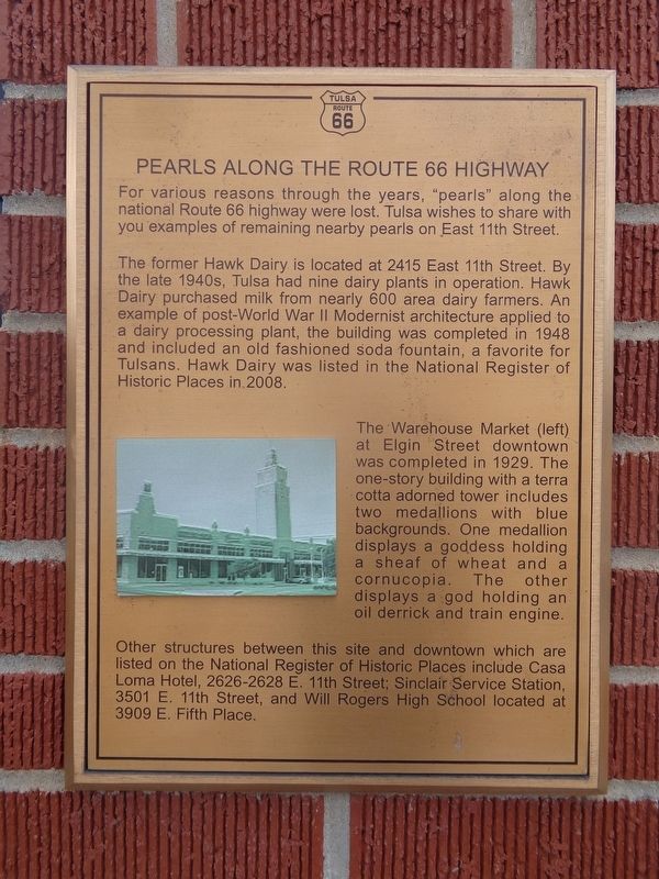
Pearls Along the Route 66 Highway
Route 66 Tulsa
The former Hawk Dairy is located at 2415 East 11th Street. By the late 1940s, Tulsa had nine dairy plants in operation. Hawk Dairy purchased milk from nearly 600 area dairy farmers. An example of post-World War II Modernist architecture applied to a dairy processing plant, the building was completed in 1948 and included an old fashioned soda fountain, a favorite for Tulsans. Hawk Dairy was listed in the National Register of Historic Places in 2008.
The Warehouse Marker at Elgin Street downtown was completed in 1929. The one-story building with a terra cotta adorned tower includes two medallions with blue backgrounds. One medallion displays a goddess holding a sheaf of wheat and a cornucopia. The other displays a god holding an oil derrick and train engine.
Other structures between this site and downtown which are listed on the National Register of Historic Places include Casa Loma Hotel, 2626-2628 E. 11th Street; Sinclair Service Station, 3501 E. 11th Street, and Will Rogers High School located at 3909 E. Fifth Place.
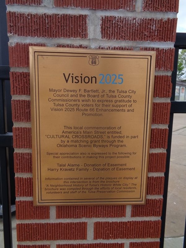
Erected by Vision 2025.
Topics and series. This historical marker is listed in these topic lists: Architecture • Industry & Commerce • Roads & Vehicles. In addition, it is included in the U.S. Route 66 series list.
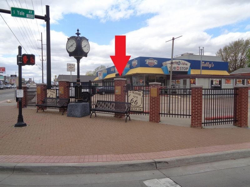
Location. 36° 8.878′ N, 95° 55.36′ W. Marker is in Tulsa, Oklahoma, in Tulsa County. It is in Turner Park. Marker is at the intersection of South Yale Avenue and East 11th Street (Old U.S. 66), on the left when traveling north on South Yale Avenue. Touch for map. Marker is at or near this postal address: 1009 S Yale Ave, Tulsa OK 74112, United States of America. Touch for directions.
Other nearby markers. At least 8 other markers are within walking distance of this marker. The Fabric of a Community (here, next to this marker); Expo Square (here, next to this marker); The Golden Drumstick Restaurant (within shouting distance of this marker); White City Historic District Neighborhood (within shouting distance of this marker); The American Milkman (within shouting distance of this marker); The Era of World War II (within shouting distance of this marker); Auto Dealerships (approx. 0.2 miles away); Cyrus Avery (approx. 0.9 miles away). Touch for a list and map of all markers in Tulsa.
Credits. This page was last revised on February 16, 2023. It was originally submitted on April 20, 2021, by Jason Voigt of Glen Carbon, Illinois. This page has been viewed 206 times since then and 23 times this year. Photos: 1, 2, 3. submitted on April 20, 2021, by Jason Voigt of Glen Carbon, Illinois.


