Rippers
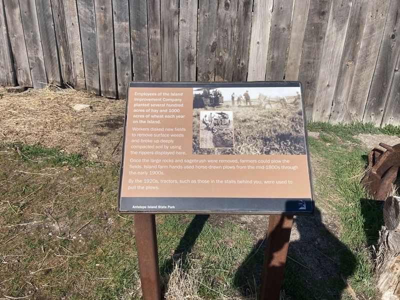
Employees of the Island Improvement Company planted several hundred acres of hay and 1000 acres of wheat each year on the Island.
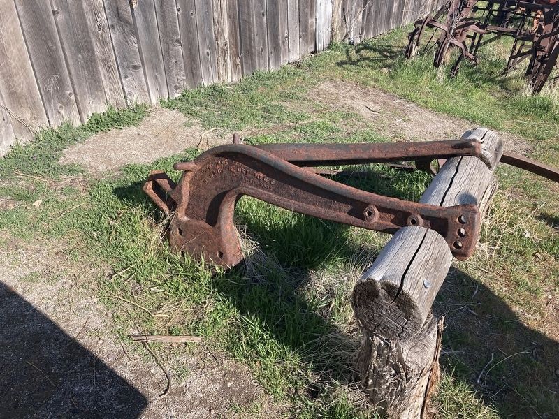
Workers disked new fields to remove surface weeds and broke up deeply compacted soil by using the rippers displayed here.
Once the large rocks and sagebrush were removed, farmers could plow the fields. Island farm hands used horse-drawn plows from the mid-1800s through the early 1900s.
By the 1920s, tractors, such as those in the stalls behind you, were used to
pull the plows.
Erected by Utah State Parks.
Topics. This historical marker is listed in this topic list: Agriculture.
Location. 40° 55.62′ N, 112° 10.015′ W. Marker is near Syracuse, Utah, in Davis County. Marker can be reached from Antelope Island Road. The marker is located the the Fielding Garr Ranch Historic Site, Antelope Island State Park. Touch for map. Marker is in this post office area: Syracuse UT 84075, United States of America. Touch for directions.
Other nearby markers. At least 8 other markers are within walking distance of this marker. Tractors (within shouting distance of this marker); Sickle Mowers (within shouting distance of this marker); Trucks (within shouting distance of this marker); Transportation (within shouting distance of
Credits. This page was last revised on April 26, 2021. It was originally submitted on April 20, 2021, by Connor Olson of Kewaskum, Wisconsin. This page has been viewed 101 times since then and 12 times this year. Photos: 1, 2. submitted on April 20, 2021, by Connor Olson of Kewaskum, Wisconsin. • J. Makali Bruton was the editor who published this page.

