Teague in Freestone County, Texas — The American South (West South Central)
Town of Teague
Photographed by James Hulse, April 19, 2021
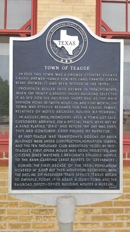
1. Town of Teague Marker
In 1905 this town was a drowsy country village called Brewer - named for 1835 Land Grantee Green Berry Brewer. It had been settled in the 1870s.
Prosperity rolled into Brewer in 1906, however, when the Trinity & Brazos Valley Railroad selected it as site for the railroad shops and as the main division point between Houston and Fort Worth. The town was speedily renamed for the Teague family, relatives of noted railroad builder B.F. Yoakum.
In August, 1906, promoters held a town lot sale. Customers arriving on a special train were met by a band playing "Dixie" and before the day was over, they had consumed 5,000 pounds of barbecue.
By 1907 Teague was transformed. Dozens of brick buildings were under construction, population soared, and the Ten Thousand Club advertised "10,000 by 1910". Teague's first opera house was soon projected, and citizens once watched 2 merchants struggle happily to the bank carrying large baskets of "Greenbacks".
During the first decade of the 1900s, population hovered at 5,000 but then momentum decreased. With the decline of passenger train service, Teague began to dwindle. Today it is again a quiet town and the railroad depot-office building houses a museum.
Erected 1969 by State Historical Survey Committee. (Marker Number 9906.)
Topics. This historical marker is listed in these topic lists: Industry & Commerce • Railroads & Streetcars • Settlements & Settlers. A significant historical month for this entry is August 1906.
Location. 31° 37.554′ N, 96° 17.12′ W. Marker is in Teague, Texas, in Freestone County. It is at the intersection of South 3rd Avenue and Elm Street, on the right when traveling south on South 3rd Avenue. The marker is located in front of the B-RI Railroad Museum. Touch for map. Marker is at or near this postal address: 208 South 3rd Avenue, Teague TX 75860,
this page online

Regionally, this marker is in the Prairies & Lakes Region. It is also in the American South. Globally, it is in North America, a Gulf of Mexico state, the Western Hemisphere, the Western World, and the Anglosphere. Historically, it finds itself in what was once New Spain, the Republic of Texas, one of the Confederate States of America, and the Antebellum South.
Other nearby markers. At least 8 other markers are within 4 miles of this marker, measured as the crow flies: The “Boll Weevil” Railway (here, next to this marker); First Baptist Church of Teague (approx. 0.3 miles away); John F. Wallace House (approx. 0.4 miles away); The Dr. Emmet Headlee House (approx. half a mile away); Llewellyn Notley (approx. 0.8 miles away); William Rufus Boyd, Jr. (approx. 0.8 miles away); Captain Richard B. Haley (approx. 3.9 miles away); Salem Predestinarian Baptist Church and Cemetery (approx. 3.9 miles away). Touch for a list and map of all markers in Teague.
Photographed by James Hulse, April 19, 2021
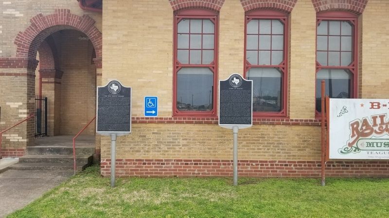
2. The Town of Teague Marker is the marker on the right of the two markers
Photographed by James Hulse, April 19, 2021
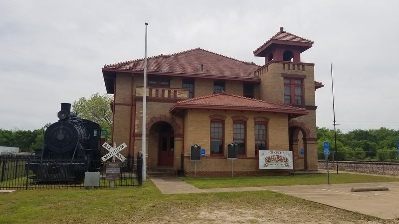
3. The view of the Town of Teague Marker from the street
Credits. This page was last revised on April 21, 2021. It was originally submitted on April 21, 2021, by James Hulse of Medina, Texas. This page has been viewed 822 times since then and 85 times this year. Photos: 1, 2, 3. submitted on April 21, 2021, by James Hulse of Medina, Texas.
