Fort Wright in Kenton County, Kentucky — The American South (East South Central)
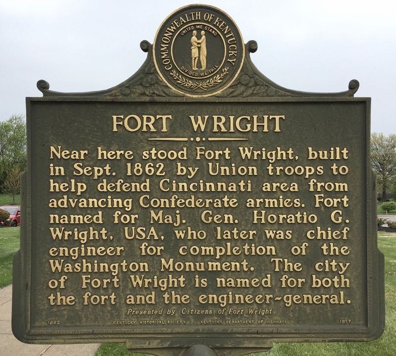
Fort Wright
Erected 1992 by Citizens of Fort Wright; Kentucky Historical Society; and Kentucky Department of Highways. (Marker Number 1917.)
Topics and series. This historical marker is listed in these topic lists: Forts and Castles • Settlements & Settlers • War, US Civil. In addition, it is included in the Kentucky Historical Society series list. A significant historical month for this entry is September 1862.
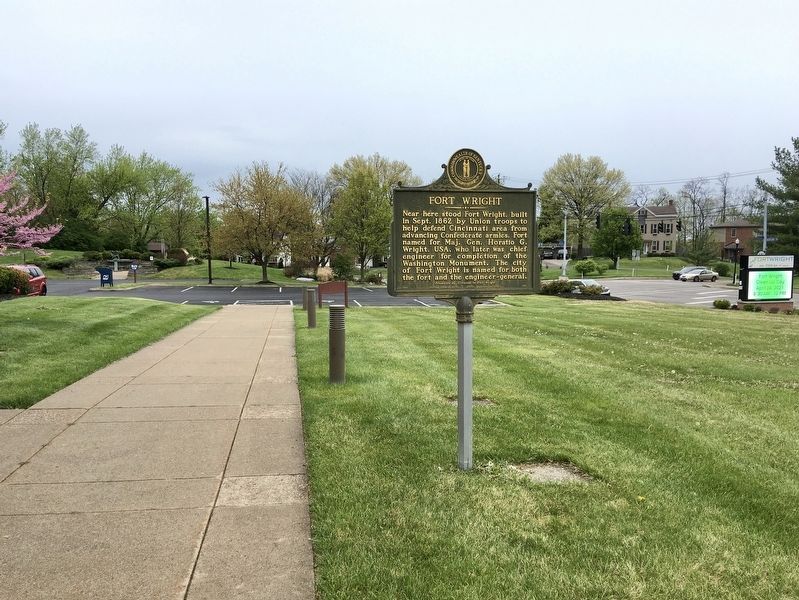
Location. 39° 3.11′ N, 84° 32.161′ W. Marker is in Fort Wright, Kentucky, in Kenton County. Marker is at the intersection of Highland Paike (Kentucky Route 1072) and Kyles Lane (Kentucky Route 3187), on the right when traveling south on Highland Paike. Touch for map. Marker is at or near this postal address: 409 Kyles Ln, Covington KY 41011, United States of America. Touch for directions.
Other nearby markers. At least 8 other markers are within 2 miles of this marker, measured as the crow flies. Fort Mitchel (approx. 0.6 miles away); Old Fort Mitchell Historic District (approx. ¾ mile away); Beechwood Historic District (approx. one mile away); A Confederate Thrust (approx. one mile away); Confederate Financier / Confederate Benefactor (approx. one mile away); Fort Mitchell Country Club Centennial (approx. one mile away); Gen. Ormsby MacKnight Mitchel (approx. 1½ miles away); Latonia Race Track (approx. 1.8 miles away).
Credits. This page was last revised on April 21, 2021. It was originally submitted on April 21, 2021, by Craig Baker of Sylmar, California. This page has been viewed 199 times since then and 27 times this year. Photos: 1, 2. submitted on April 21, 2021, by Craig Baker of Sylmar, California. • Bernard Fisher was the editor who published this page.

