The Fielding Garr Ranch
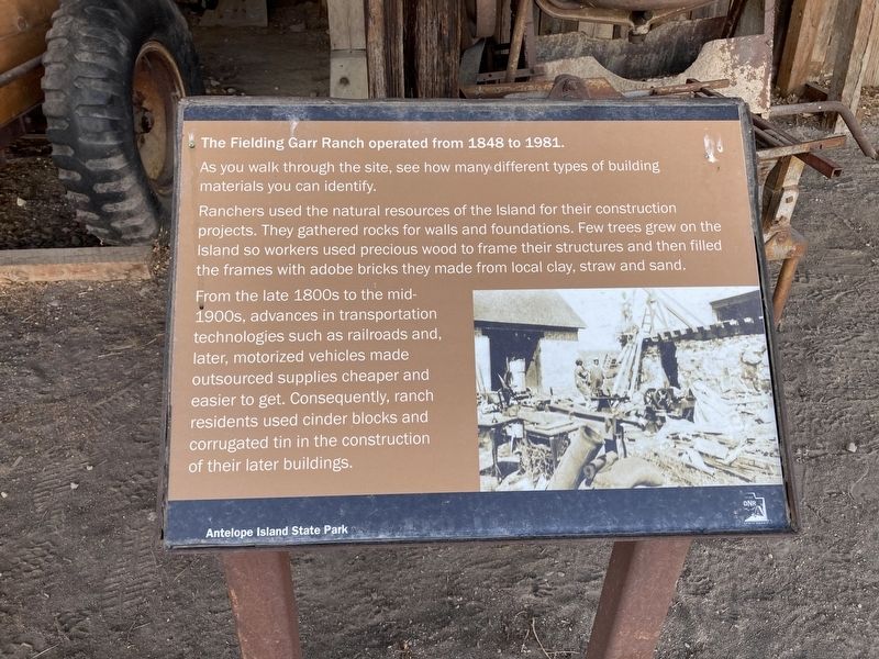
The Fielding Garr Ranch operated from 1848 to 1981.
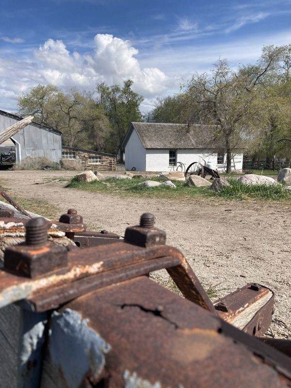
As you walk through the site, see how many different types of building materials you can identify. Ranchers used the natural resources of the Isiand for their construction projects. They gathered rocks for walls and foundations. Few trees grew on the Island so workers used precious wood to frame their structures and then filled the frames with adobe bricks they made from local clay, straw and sand.
From the late 1800s to the mid-
1900s, advances in transportation
technologies such as railroads and,
later, motorized vehicles made
outsourced supplies cheaper and
easier to get. Consequently, ranch
residents used cinder blocks and
corrugated tin in the construction
of their later buildings.
Erected by Utah State Parks.
Topics. This historical marker is listed in this topic list: Agriculture. A significant historical year for this entry is 1848.
Location. 40° 55.592′ N, 112° 10.047′ W. Marker is near Syracuse, Utah, in Davis County. Marker can be reached from Antelope Island Road. The marker is located at the Fielding Garr Ranch Historic Site, Antelope Island State Park. Touch for map. Marker is in this post office area: Syracuse UT 84075, United States of America. Touch for directions.
Other nearby markers. At least 8 other markers are within walking distance of this marker. Transportation (here, next to this marker); Trucks
Credits. This page was last revised on April 27, 2021. It was originally submitted on April 21, 2021, by Connor Olson of Kewaskum, Wisconsin. This page has been viewed 119 times since then and 16 times this year. Photos: 1, 2. submitted on April 21, 2021, by Connor Olson of Kewaskum, Wisconsin. • J. Makali Bruton was the editor who published this page.

