Native Restoration
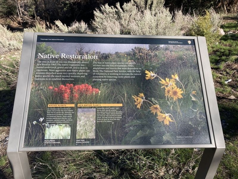
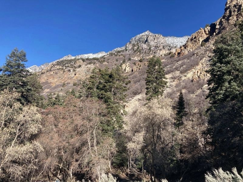
The area in front of you was dramatically altered by a flood in 1965. The native vegetation was buried under rock, gravel and silt, and is slow to regenerate. More aggressive non-native plants can colonize disturbed areas very quickly, depriving native species the much needed moisture and nutrients to re-establish themselves.
The loss of native plant species can rapidly escalate into the loss of mammals, birds, amphibians and insects that were dependent on them. The National Park Service, with the help of volunteers, is working to recreate the natural ecosystem by removing exotic plants and planting native species.
Captions:
Native Species: An interdependent community of
plants and animals that have evolved
over time to specific soil, moisture, and
temperature conditions. Interacting
in a balanced manner, native species
provide stability and diversity to an
ecosystem, giving it greater resilience
to pests and changing conditions.
Non-Native: Sometimes called "weeds," non-
native plant species produce
abundant seeds, and cover disturbed
areas swiftly. Many release chemicals
into the soil that are toxic to native
plants and may introduce unwanted
insects or grow so thick that they
become a fire hazard.
Erected by National
Topics. This historical marker is listed in these topic lists: Disasters • Horticulture & Forestry. A significant historical year for this entry is 1965.
Location. 40° 26.608′ N, 111° 42.584′ W. Marker is near Cedar Hills, Utah, in Utah County. Marker can be reached from Utah Route 92. The marker is located on the Canyon Nature Trail. Touch for map. Marker is in this post office area: Pleasant Grove UT 84062, United States of America. Touch for directions.
Other nearby markers. At least 8 other markers are within 4 miles of this marker, measured as the crow flies. A Shared Effort (approx. ¼ mile away); Upper American Fork Hydroelectric Power Plant (approx. 0.8 miles away); Moyle House & Indian Tower (approx. 3.4 miles away); John Rowe Moyle Tower Home and Surroundings (approx. 3.4 miles away); John Rowe Moyle in First Handcart Company (approx. 3.4 miles away); John Rowe Moyle (approx. 3.4 miles away); John Rowe Moyle Tower (approx. 3.4 miles away); The Great Trek (approx. 3.4 miles away).
Credits. This page was last revised on April 27, 2021. It was originally submitted on April 21, 2021, by Connor Olson of Kewaskum, Wisconsin. This page has been viewed 108 times since then and 5 times this year. Photos: 1, 2. submitted on April 21, 2021, by Connor Olson of Kewaskum, Wisconsin. • J. Makali Bruton was the editor who published this page.

