Fort Washington in Prince George's County, Maryland — The American Northeast (Mid-Atlantic)
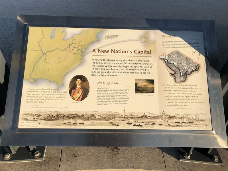
A New Nation's Capital
Following the Revolutionary War, the task of locating the capital of the new nation fell to George Washington. He traveled widely investigating other options, such as Philadelphia and Trenton, but ultimately returned to familiar ground, a site on the Potomac River near its home at Mount Vernon.
"Early in his life General Washington contemplated the opening of [the Potowmack], from the tide-water to its source, so as to make it navigable for such vessels as were suitable for carrying the produce of the country to the shipping ports below
—Tobias Lear
Personal Secretary to George Washington, 1793
choosing a site
George Washington's experience of surveying the western wilderness as a young man convinced him that the control of the interior of the country would be critical to the new nation. As a site for the nation's capital, the Potomac River was not only the midway between northern and southern states, but was also one of the few rivers to penetrate the Allegheny Mountains and access the vast resources of the Mississippi River Valley. Washington hoped that goods traveling downriver to the ports of Georgetown and Alexandria would transform the capital into a thriving commercial center.
making plans
The new federal district, carved from land donated by Virginia and Maryland, took the form of a ten-mile square. Washington hired a Frenchman, Pierre Charles L'Enfant to design the streets and monuments of the capital city within the district. His grandiose plan featured broad avenues arranged in radial fashion to frame long vistas of monuments and public buildings.
"No nation had ever before the opportunity offered them of deliberately deciding on the spot where their Capital City should be fixed... the plan should be drawn on such a scale as to leave room for that aggrandizement and embellishment which the increase of the wealth of the nation will permit it to pursue at any period however remote."
-L'Enfant to George Washington, 1789
Topics and series. This historical marker is listed in this topic list: Government & Politics. In addition, it is included in the Former U.S. Presidents: #01 George Washington series list. A significant historical year for this entry is 1793.
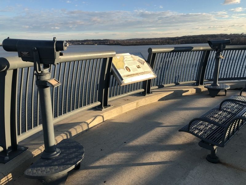
Location. 38° 47.588′ N, 77° 2.182′ W. Marker is in Fort Washington, Maryland, in Prince George's County. Marker is on Woodrow Wilson Memorial Bridge (Interstate 95) west of National Harbor Boulevard, on the right when traveling west. Touch for map. Marker is in this post office area: Fort Washington MD 20744, United States of America. Touch for directions.
Other nearby markers. At least 8 other markers are within walking distance of this marker
More about this marker. [Captions:]
George Washington's choice of site for the nation's capitol
The export to England of tobacco, furs, indigo (a dye) and lumber (for shipbuilding) was critical to the economy of the American colonies, even after independence.
View of Washington, 1860
George Washington at 40.
Modest farm beginnings and dusty roads surround the Capitol in an 1844 landscape.
Regarding A New Nation's Capital. Original Federal Boundary Stones Historical Markers; Ten-Miles Square.
Additional keywords. Original Federal Boundary Stones Historical Markers; Boundary Markers
Credits. This page was last revised on March 3, 2023. It was originally submitted on December 23, 2018, by Devry Becker Jones of Washington, District of Columbia. This page has been viewed 231 times since then and 14 times this year. Last updated on April 21, 2021, by Roberto Bernate of Arlington, Virginia. Photos: 1, 2. submitted on December 23, 2018, by Devry Becker Jones of Washington, District of Columbia.

