Near Sevierville in Sevier County, Tennessee — The American South (East South Central)
Battle of Boyd's Creek
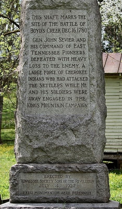
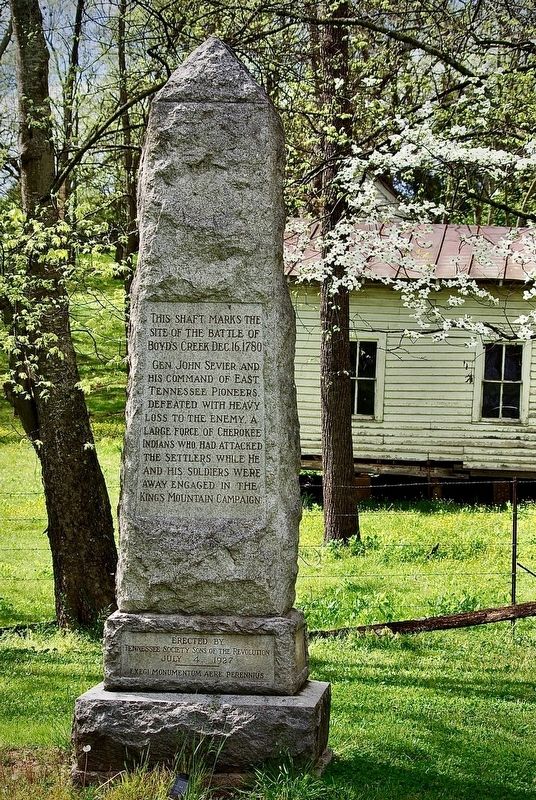
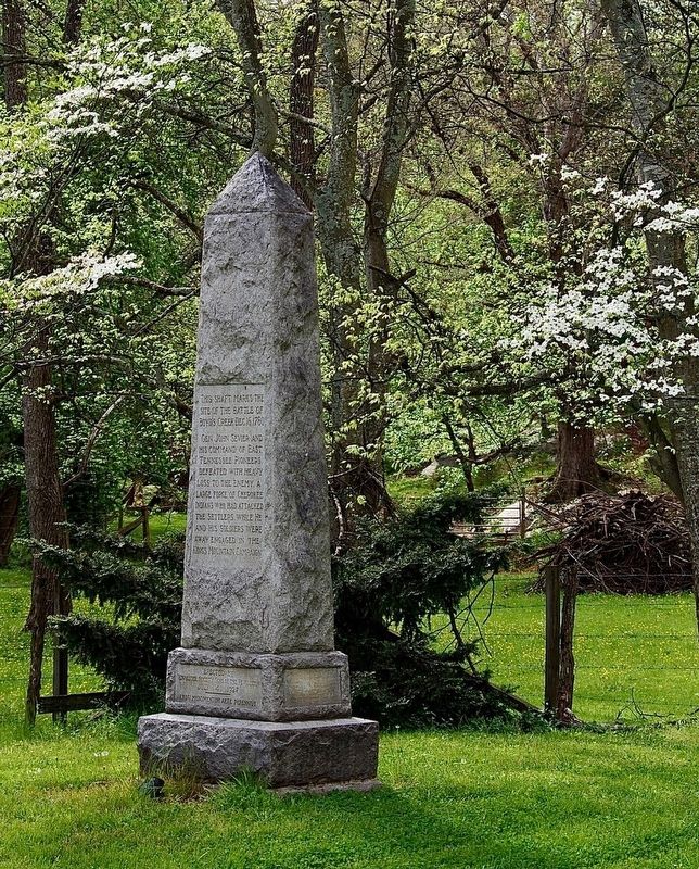
This shaft marks the site of the battle of Boyd's Creek Dec. 16, 1780
Gen. John Sevier and his command of East Tennessee pioneers defeated with heavy loss to the enemy. A large force of Cherokee Indians who had attacked the settlers while he and his soldiers were away engaged in the Kings Mountain campaign
Erected by Tennessee Society Sons of the Revolution July 4, 1927
Exegi Monumentum Aere Perennius
Erected 1927 by Tennessee Society Sons of the Revolution.
Topics. This historical marker is listed in these topic lists: Native Americans • Patriots & Patriotism • Settlements & Settlers • War, US Revolutionary. A significant historical date for this entry is December 16, 1780.
Location. 35° 54.808′ N, 83° 40.677′ W. Marker is near Sevierville, Tennessee, in Sevier County. Marker is at the intersection of Boyds Creek Highway (U.S. 338) and Boyds Creek Church Road, on the left when traveling east on Boyds Creek Highway. Touch for map. Marker is in this post office area: Sevierville TN 37876, United States of America. Touch for directions.
Other nearby markers. At least 8 other markers are within 5 miles of this marker, measured as the crow flies. Wheatlands (approx. 0.7 miles away); Steamboat Times on the French Broad (approx. 1.8 miles away); The Great Indian Warpath (approx. 1.8 miles away); The Kelly Family Farm (approx. 2.4 miles away); Seven Islands Methodist Church (approx. 3 miles away); Keener-Johnson Farm (approx. 3.4 miles away); Major Hugh Henry (approx. 4.2 miles away); Manifold Station (approx. 4.8 miles away). Touch for a list and map of all markers in Sevierville.
Regarding Battle of Boyd's Creek. The Latin inscription can be translated as "I have made a monument more lasting than bronze."
Credits. This page was last revised on April 28, 2021. It was originally submitted on April 21, 2021, by Mary Ruden of Sevierville, Tennessee. This page has been viewed 1,595 times since then and 178 times this year. Photos: 1, 2, 3. submitted on April 28, 2021, by J. Makali Bruton of Accra, Ghana. • J. Makali Bruton was the editor who published this page.


