Near Donie in Freestone County, Texas — The American South (West South Central)
Union Cemetery
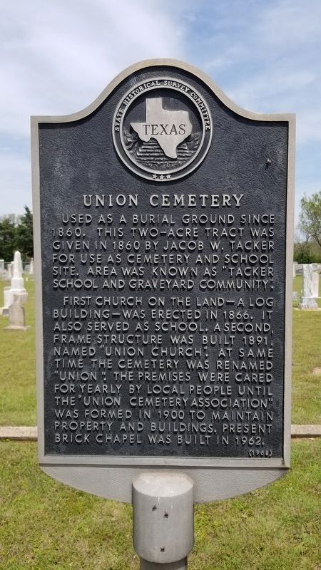
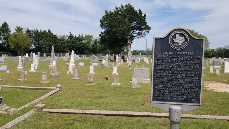
Used as a burial ground since 1860. This two-acre tract was given in 1860 by Jacob W. Tacker for use as cemetery and school site. Area was known as "Tacker School and Graveyard Community."
First church on the land - a log building - was erected in 1866. It also served as school. A second, frame structure was built 1891, named "Union Church." At same time the cemetery was renamed "Union." The premises were cared for yearly by local people until the "Union Cemetery Association" was formed in 1900 to maintain property and buildings. Present brick chapel was built in 1962.
Erected 1968 by State Historical Survey Committee. (Marker Number 9907.)
Topics. This historical marker is listed in these topic lists: Cemeteries & Burial Sites • Churches & Religion • Education. A significant historical year for this entry is 1860.
Location. 31° 31.539′ N, 96° 16.067′ W. Marker is near Donie, Texas, in Freestone County. Marker can be reached from County Highway 814 near County Highway 751. The marker is located in the central section of the Union Cemetery by the visitor’s sign-in station. Touch for map. Marker is in this post office area: Donie TX 75838, United States of America. Touch for directions.
Other nearby markers. At least 8 other markers are within 7 miles of this marker, measured as the crow flies. Salem Predestinarian Baptist Church and Cemetery (approx. 3.2 miles away); Captain Richard B. Haley (approx. 3.2 miles away); Site of Worthy Store (approx. 4.3 miles away); The Dr. Emmet Headlee House (approx. 6.7 miles away); William Rufus Boyd, Jr. (approx. 6.8 miles away); Llewellyn Notley (approx. 6.9 miles away); John F. Wallace House (approx. 7 miles away); The “Boll Weevil” Railway (approx. 7 miles away).
Credits. This page was last revised on April 21, 2021. It was originally submitted on April 21, 2021, by James Hulse of Medina, Texas. This page has been viewed 245 times since then and 20 times this year. Photos: 1, 2, 3, 4. submitted on April 21, 2021, by James Hulse of Medina, Texas.


