Central Park in Tulsa in Tulsa County, Oklahoma — The American South (West South Central)
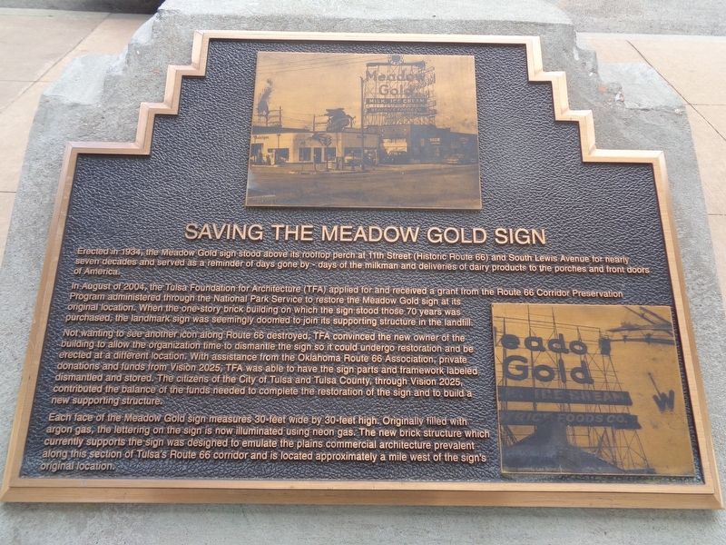
Saving the Meadow Gold Sign
In August of 2004, the Tulsa Foundation for Architecture (TFA) applied for and received a grant from the Route 66 Corridor Preservation Program administered through the National Park Service to restore the Meadow Gold sign at its original location. When the one-story brick building on which the sign stood those 70 years was purchased, the landmark sign was seemingly doomed to join its supporting structure in the landfill.
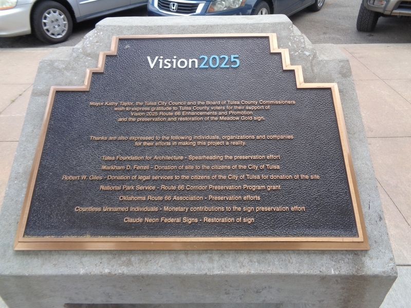
Not wanting to see another icon along Route 66 destroyed, TFA convinced the new owner of the building to allow the organization time to dismantle the sign so it could undergo restoration and be erected at a different location. With assistance from the Oklahoma Route 66 Association, private donations and funds from Vision 2025, TFA was able to have the sign parts and framework labeled dismantled and stored. The citizens of the City of Tulsa and Tulsa County, through Vision 2025, contributed the balance of the funds needed to complete the restoration of the sign and to build a new supporting structure.
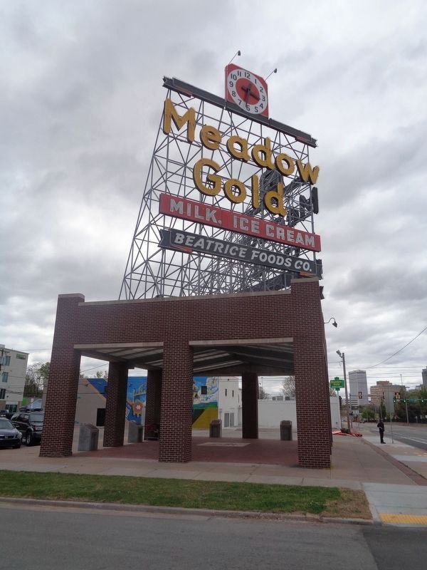
Each face of the Meadow Gold sign measures 30-feet wide by 30-feet high. Originally filled with argon gas, the lettering on the sign is now illuminated using neon gas. The new brick structure which currently supports the sign was designed to emulate the plains commercial architecture prevalent along this section of Tulsa's Route 66 corridor and is located approximately a mile west of the sign's original location.
Erected by Vision 2025.
Topics and series. This historical marker is listed in these topic lists: Industry & Commerce • Roads & Vehicles. In addition, it is included in the U.S. Route 66 series list. A significant historical month for this entry is August 2004.
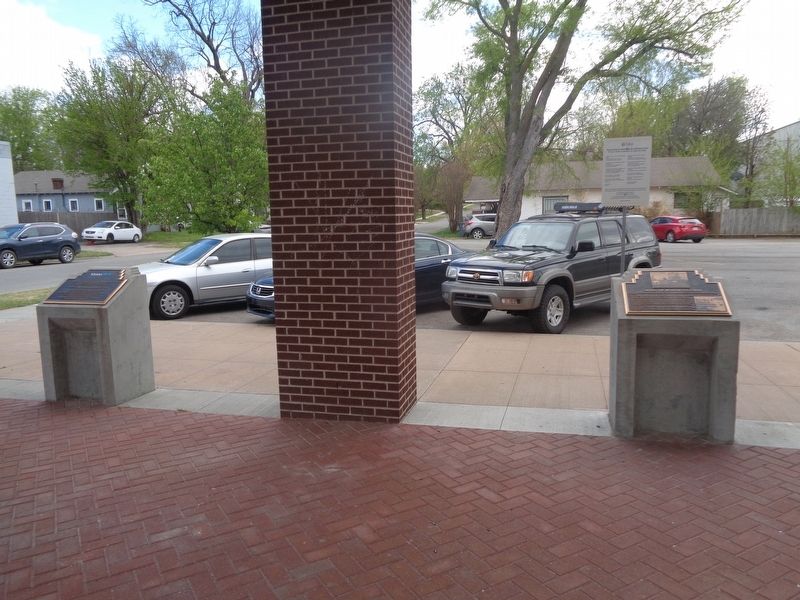
Location. 36° 8.861′ N, 95° 58.483′ W. Marker is in Tulsa, Oklahoma, in Tulsa County. It is in Central Park. Marker is on East 11th Street (Old U.S. 66) west of South Quaker Avenue, on the right when traveling east. Marker is under a structure which holds the Meadow Gold sign. Touch for map. Marker is at or near this postal address: 1324 E 11th St, Tulsa OK 74120, United States of America. Touch for directions.
Other nearby markers. At least 8 other markers are within walking distance of this marker. The History of Meadow Gold (here, next to this marker); The History of Neon Signs (a few steps from this marker); History of This Site (a few steps from this marker); Leyh Building (approx. 0.4 miles away);
Warehouse Market (approx. 0.4 miles away); Tulsa Monument Company (approx. half a mile away); Dry Cleaners (approx. half a mile away); Elliott Building (approx. 0.6 miles away). Touch for a list and map of all markers in Tulsa.
Credits. This page was last revised on February 16, 2023. It was originally submitted on April 22, 2021, by Jason Voigt of Glen Carbon, Illinois. This page has been viewed 178 times since then and 25 times this year. Photos: 1, 2, 3, 4. submitted on April 22, 2021, by Jason Voigt of Glen Carbon, Illinois.


