Tulsa in Tulsa County, Oklahoma — The American South (West South Central)
Tulsa's 11th Street Bridge
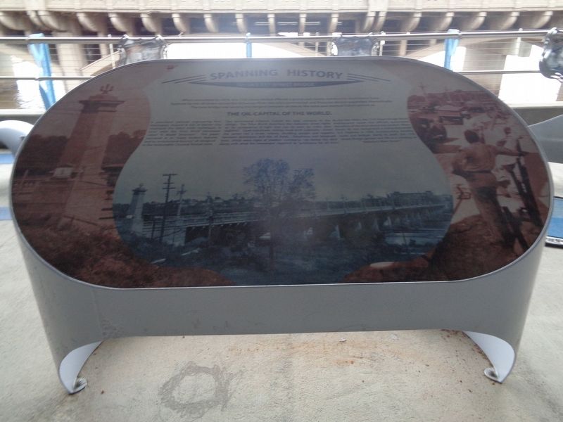
Spanning History
A prominent national engineering firm, Harrington, Howard & Ash of Kansas City, employed the latest trade techniques to erect what the Tulsa World newspaper called "A Model Structure." The paper marveled at its "many modern features and its architectural beauty," all designed in the fashionable Classical Revival style.
Two ornamental columns framed the west entrance to the bridge. The Tulsa World described the elaborate street lights as "an exuberance of light that can be seen for miles after nightfall." Open balustrade railings lined both sidewalks. Down the center ran a street railway, shuttling people and supplies between downtown and the oil fields. Telephone and telegraph lines, which were signs of modern commerce, ran below the deck along with what the newspaper reported as "provisions for oil men."
By the late 1920s, the 11th Street Bridge faced maintenance issues and officials questioned the safety of the once-proud city symbol. When Route 66 was designated a transcontinental U.S. highway in 1926, incorporating existing roads and bridges along its path, the 11th Street Bridge gained new life as a crossing on "America's Main Street."
Topics and series. This historical marker is listed in these topic lists: Architecture • Bridges & Viaducts • Roads & Vehicles. In addition, it is included in the U.S. Route 66 series list. A significant historical year for this entry is 1916.
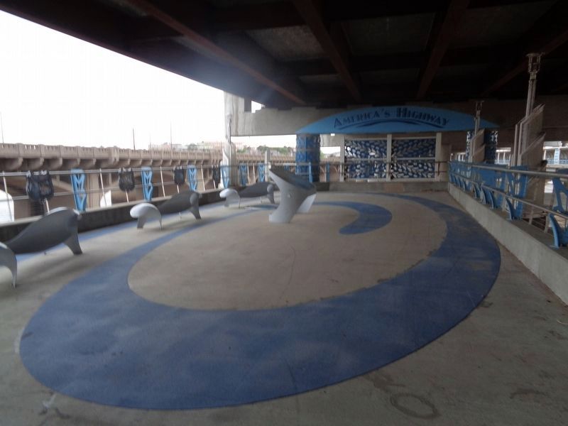
Location. 36° 8.65′ N, 96° 0.244′ W. Marker is in Tulsa, Oklahoma, in Tulsa County. Marker can be reached from Southwest Avenue (Old U.S. 66). Marker is off the River Parks East Trail, near the Cyrus Avery Centennial Plaza. It is underneath the east-bound Red Fork Expressway (I-244). Touch for map. Marker is in this post office area: Tulsa OK 74127, United States of America. Touch for directions.
Other nearby markers. At least 8 other markers are within walking distance of this marker. A different marker also named Tulsa's 11th Street Bridge (within shouting distance of this marker); "East Meets West" (about 300 feet away, measured in a direct line); Cyrus Stevens Avery (about 300 feet away); Cyrus Avery Route 66 Memorial Bridge (about 300 feet away); The Bridge Builder (about 300 feet away); The Bridge that Saved Tulsa (about 400 feet away); Oil Capital Motel (approx. ¼ mile away); Will Rogers Motor Court (approx. ¼ mile away). Touch for a list and map of all markers in Tulsa.
Also see . . .
11th Street Bridge on Wikipedia. The bridge was added to the National Register of Historic Places in 1996, and was renamed the Cyrus Avery Route 66 Memorial Bridge in 2004. It has been closed to vehicular traffic since 1980 and pedestrians since 2008. (Submitted on April 22, 2021, by Jason Voigt of Glen Carbon, Illinois.)
Credits. This page was last revised on April 22, 2021. It was originally submitted on April 22, 2021, by Jason Voigt of Glen Carbon, Illinois. This page has been viewed 146 times since then and 12 times this year. Photos: 1, 2. submitted on April 22, 2021, by Jason Voigt of Glen Carbon, Illinois.

