The Light of Reconciliation
⎯⎯⎯
Now, Therefore Be It Resolved,
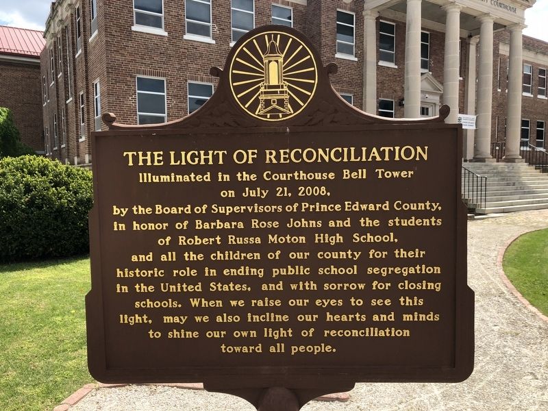
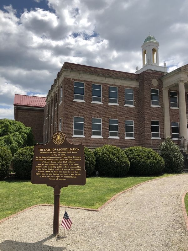
The Light of Reconciliation Illuminated in the Courthouse Bell Tower on July 21, 2008, by the Board of Supervisors of Prince Edward County, in honor of Barbara Rose Johns and the students of Robert Russa Moton High School, and all the children of our county for their historic role in ending public school segregation in the United States, and with sorrow for closing schools. When we raise our eyes to see this light, may we also incline our hearts and minds to shine our own light of reconciliation toward all people.
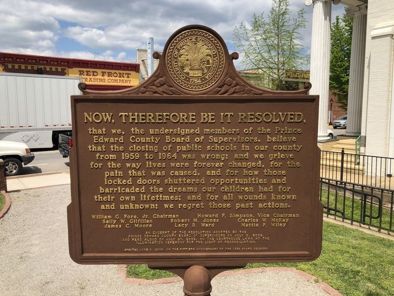
Now, therefore be it resolved, that we, the undersigned members of the Prince Edward County Board of Supervisors, believe that the closing of public schools in our county from 1959 to 1964 was wrong; and we grieve for the way lives were forever changed, for the pain that was caused, and for how those locked doors shuttered opportunities and barricaded the dreams our children had for their own lifetimes; and for all wounds known and unknown; we regret those past actions.
William G. Fore, Chairman • Howard F. Simpson, Vice Chairman • Sally W. Gilfillan • Robert M. Jones • Charles W. McKay • James C. Moore • Lacy B. Ward • Mattie P. Wiley
An excerpt of the resolution adopted by the Prince Edward County Board of Supervisors on July 8, 2008, and read aloud on July 21, 2008, on the courthouse lawn at the illumination ceremony for the Light of Reconciliation.
Erected June 3, 2008, on the fiftieth anniversary of the 1959 Board decision.
Erected 2008
this page online
Topics. This historical marker is listed in these topic lists: African Americans • Civil Rights • Education. A significant historical date for this entry is June 3, 1959.
Location. 37° 18.115′ N, 78° 23.548′ W. Marker is in Farmville, Virginia, in Prince Edward County. It is on North Main Street (Business U.S. 15) just south of East 3rd Street (Business U.S. 460), on the right when traveling north. Touch for map. Marker is at or near this postal address: 132 N Main St, Farmville VA 23901, United States of America. Touch for directions.

Regionally, this marker is in the Piedmont, in Southside Virginia, and specifically in Central Virginia. It is also in the American South and specifically in the Upper South. Globally, it is in North America, the Western Hemisphere, the Western World, and the Anglosphere. Historically, it finds itself in what was once the territory of the Mississippian Culture, one of the original Thirteen Colonies, one of the Confederate States of America, and the Antebellum South.
Other nearby markers. At least 8 other markers are within walking distance
Other markers no longer nearby. Beulah AME Church (was about 400 feet away but has been replaced with another marker now near it); a different marker also named First Baptist Church (was about 500 feet away but has been replaced with another marker now near it).
Credits. This page was last revised on April 25, 2021. It was originally submitted on April 25, 2021, by Devry Becker Jones of Washington, District of Columbia. This page has been viewed 547 times since then and 38 times this year. Photos: 1, 2, 3. submitted on April 25, 2021, by Devry Becker Jones of Washington, District of Columbia.
