Near Meherrin in Prince Edward County, Virginia — The American South (Mid-Atlantic)
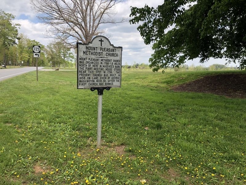
Mount Pleasant Methodist Church
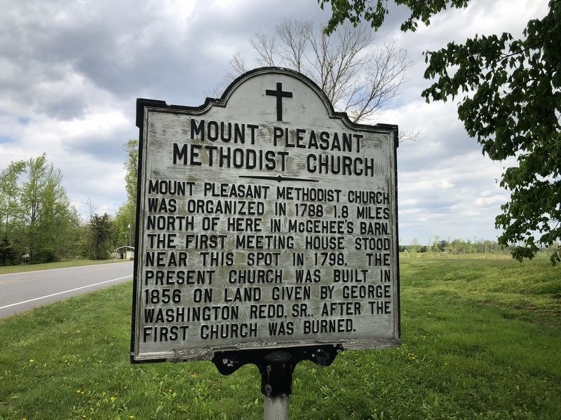
Topics. This historical marker is listed in this topic list: Religion & Religious Structures. A significant historical year for this entry is 1788.
Location. 37° 8.659′ N, 78° 26.571′ W. Marker is near Meherrin, Virginia, in Prince Edward County. It is at the intersection of Farmville Road (U.S. 15) and Mt. Pleasant Road (County Road 633), on the right when traveling north on Farmville Road. Touch for map. Marker is at or near this postal address: 12759 Farmville Rd, Meherrin VA 23954, United States of America. Touch for directions.

Regionally, this marker is in the Piedmont, in Southside Virginia, and specifically in Central Virginia. It is also in the American South and specifically in the Upper South. Globally, it is in North America, the Western Hemisphere, the Western World, and the Anglosphere. Historically, it finds itself in what was once the territory
this page online
Other nearby markers. At least 8 other markers are within 6 miles of this marker, measured as the crow flies: Joseph Morton (approx. 4.4 miles away); Old Briery Church (approx. 4.4 miles away); Charlotte County / Prince Edward County (approx. 4.6 miles away); Meherrin Station (approx. 5.1 miles away); Slate Hill Plantation (approx. 5.1 miles away); Providence (approx. 5.9 miles away); Campaign of 1781 (approx. 5.9 miles away); History of Worsham (approx. 5.9 miles away).
Credits. This page was last revised on April 12, 2023. It was originally submitted on April 25, 2021, by Devry Becker Jones of Washington, District of Columbia. This page has been viewed 683 times since then and 60 times this year. Photos: 1, 2. submitted on April 25, 2021, by Devry Becker Jones of Washington, District of Columbia.
