Danville's Streetcars
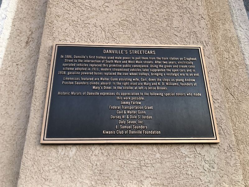
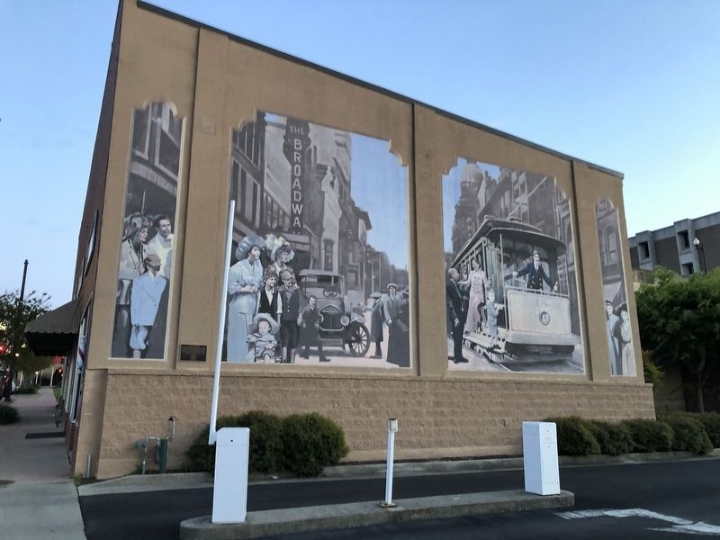
In 1886, Danville's first trolleys used mule power to pull them from the train station on Craghead Street to the intersection of South Main and West Main streets. After two years, electrically operated vehicles replaced this primitive public conveyance. Using the green and cream color scheme adopted in 1911, modern streamlined vehicles later supplanted the open cars and in 1938, gasoline powered buses replaced the iron-wheel trolleys, bringing a nostalgic era to an end.
Likenesses featured are Walter Gunn assisting wife, Gail, down the steps as young Andrew Preston Saunders climbs aboard. In the right inset are Mary and K.D. Williams, founders of Mary's Diner. In the stroller at left is Jesse Brooks.
Erected by Historic Murals of Danville.
Topics. This historical marker is listed in these topic lists: Animals • Industry & Commerce • Railroads & Streetcars • Roads & Vehicles. A significant historical year for this entry is 1886.
Location. 36° 35.297′ N, 79° 23.584′ W. Marker is in Danville, Virginia. Marker is on North Union Street just south of Spring Street, on the right when traveling south. Touch for map. Marker is at or near this postal address: 127 N Union St, Danville VA 24541, United States of America. Touch for directions.
Other nearby markers. At least 8 other markers are within walking distance of this marker. Home of Dan River Fabrics (within shouting distance
Credits. This page was last revised on February 2, 2023. It was originally submitted on April 25, 2021, by Devry Becker Jones of Washington, District of Columbia. This page has been viewed 250 times since then and 26 times this year. Photos: 1, 2. submitted on April 25, 2021, by Devry Becker Jones of Washington, District of Columbia.

