Near Eaton Rapids in Eaton County, Michigan — The American Midwest (Great Lakes)
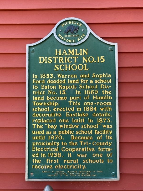
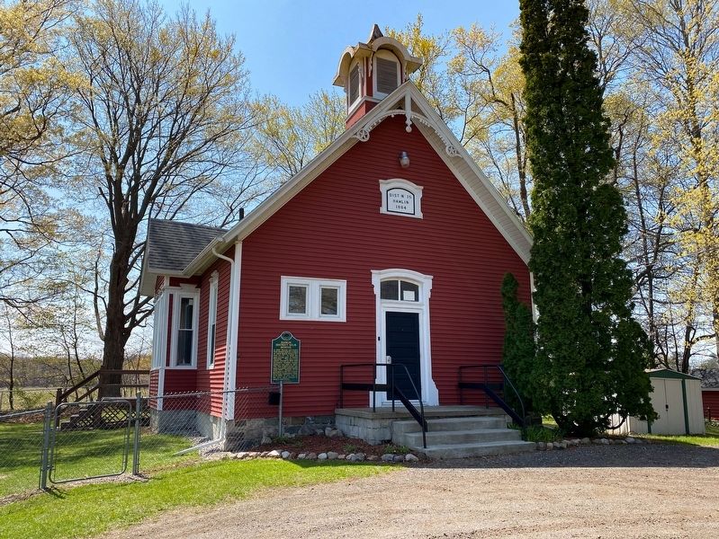
Hamlin District No. 15 School
Erected 1993 by Bureau of History, Michigan Department of State. (Marker Number L1802.)
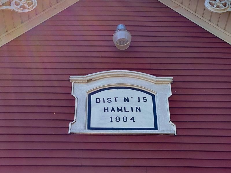
Topics and series. This historical marker is listed in these topic lists: Education • Settlements & Settlers. In addition, it is included in the Michigan Historical Commission series list. A significant historical year for this entry is 1884.
Location. 42° 28.785′ N, 84° 38.101′ W. Marker is near Eaton Rapids, Michigan, in Eaton County. Marker is at the intersection of Kinneville Road and Hale Highway, on the right when traveling south on Kinneville Road. Touch for map. Marker is at or near this postal address: 10248 Kinneville Rd, Eaton Rapids MI 48827, United States of America. Touch for directions.
Other nearby markers. At least 8 other markers are within 3 miles of this marker, measured as the crow flies. VFW National Home (approx. 1.8 miles away); VFW National Home For Children World War II Memorial (approx. 1.9 miles away); Miller Dairy Farm No. 1 (approx. 2.1 miles away); Eaton Rapids Community War Memorial (approx. 2.3 miles away); Red Ribbon Hall (approx. 2.3 miles away); Austin Blair (approx. 2.4 miles away); Island Park (approx. 2.4 miles away); "The Saratoga of the West" (approx. 2˝ miles away). Touch for a list and map of all markers in Eaton Rapids.
Credits. This page was last revised on April 26, 2021. It was originally submitted on April 25, 2021, by J.T. Lambrou of New Boston, Michigan. This page has been viewed 122 times since then and 22 times this year. Photos: 1, 2, 3. submitted on April 25, 2021, by J.T. Lambrou of New Boston, Michigan. • Mark Hilton was the editor who published this page.


