Eaton Rapids in Eaton County, Michigan — The American Midwest (Great Lakes)
Miller Dairy Farm No. 1
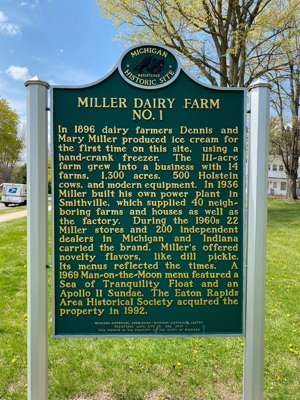
Photographed by J.T. Lambrou, April 23, 2021
1. Miller Dairy Farm No. 1 Marker
Erected 2007 by Michigan Historical Commission - Michigan Historical Center. (Marker Number L692.)
Topics and series. This historical marker is listed in this topic list: Industry & Commerce. In addition, it is included in the Michigan Historical Commission series list. A significant historical year for this entry is 1896.
Location. 42° 30.566′ N, 84° 38.591′ W. Marker is in Eaton Rapids, Michigan, in Eaton County. It is on
this page online

Regionally, this marker is in Mid-Michigan and in Greater Lansing. It is also in the American Midwest. Globally, it is in North America, the Western Hemisphere, the Western World, and the Anglosphere. Historically, it finds itself in what was once the Northwest Territory.
Other nearby markers. At least 8 other markers are within 3 miles of this marker, measured as the crow flies: Parma and Sheridan District No. 7 School (within shouting distance of this marker); Island Park (approx. 0.6 miles away); Red Ribbon Hall (approx. 0.7 miles away); Eaton Rapids Community War Memorial (approx. 0.7 miles away); Austin Blair (approx. 0.7 miles away); "The Saratoga of the West" (approx. 0.7 miles away); Hamlin District No. 15 School (approx. 2.1 miles away); VFW National Home (approx. 3.1 miles away). Touch for a list and map of all markers in Eaton Rapids.
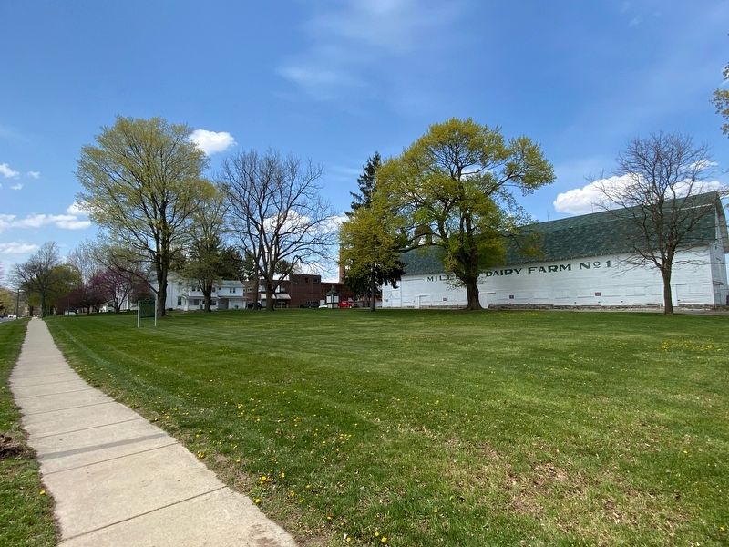
Photographed by J.T. Lambrou, April 23, 2021
2. Miller Dairy Farm No. 1 Marker
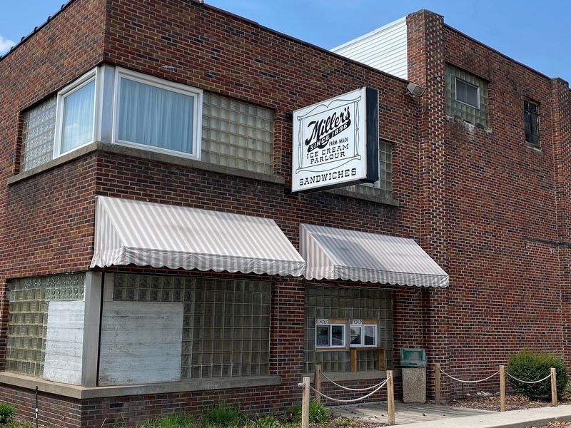
Photographed by J.T. Lambrou, April 23, 2021
3. Miller Dairy Farm No. 1
Concessions Window
Credits. This page was last revised on April 26, 2021. It was originally submitted on April 26, 2021, by J.T. Lambrou of New Boston, Michigan. This page has been viewed 1,059 times since then and 73 times this year. Photos: 1, 2, 3. submitted on April 26, 2021, by J.T. Lambrou of New Boston, Michigan. • Mark Hilton was the editor who published this page.
