Near Madisonville in Hopkins County, Kentucky — The American South (East South Central)
Munns School

Photographed by Duane and Tracy Marsteller, April 25, 2021
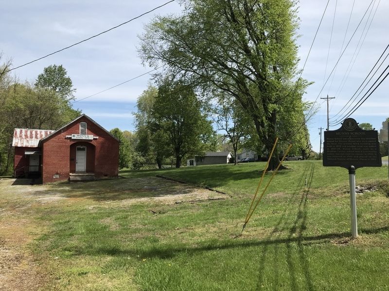
1. Munns School Marker
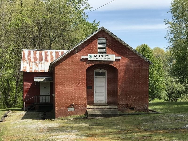
Munns School was a one-room log structure named for Eleanor Munns who once owned the land. The present brick building was built in 1879 and another room was added in 1927-28. Munns School, used as a Hopkins County school and a community center, was last used for classes in 1955. It was restored in 1982 and placed on the National Register of Historic Places in 1983.
Erected 2016 by Kentucky Historical Society and Kentucky Department of Highways. (Marker Number 2512.)
Topics and series. This historical marker is listed in these topic lists: Architecture • Education. In addition, it is included in the Kentucky Historical Society series list. A significant historical year for this entry is 1879.
Location. 37° 18.901′ N, 87° 31.779′ W. Marker is near Madisonville, Kentucky, in Hopkins County. It is on Beulah Road (Kentucky Route 70) 0.1 miles north of Beagle Park Loop ( Route 1302), on the left when traveling north. Touch for map. Marker is at or near this postal address: 1690 Beulah Road, Madisonville KY 42431, United States of America. Touch for directions.

Regionally, this marker is in the Tri-State Region
this page online
Other nearby markers. At least 8 other markers are within 2 miles of this marker, measured as the crow flies: Army of Six (approx. 1.6 miles away); Dr. Thomas Wright Gardiner House (approx. 1.7 miles away); Zion Temple A.M.E. Zion Church / The Freedom Church (approx. 1.8 miles away); Chittenden P. Lyon, Jr. House (approx. 1.8 miles away); Turner Ruby House (approx. 1.8 miles away); Carlow's Stone Wall (approx. 1.9 miles away); Gov. Ruby Laffoon (approx. 1.9 miles away); Courthouse Burned (approx. 1.9 miles away). Touch for a list and map of all markers in Madisonville.
Photographed by Duane and Tracy Marsteller, April 25, 2021
2. Munns School Marker
Photographed by Duane and Tracy Marsteller, April 25, 2021
3. Munns School
Photographed by Duane and Tracy Marsteller, April 25, 2021
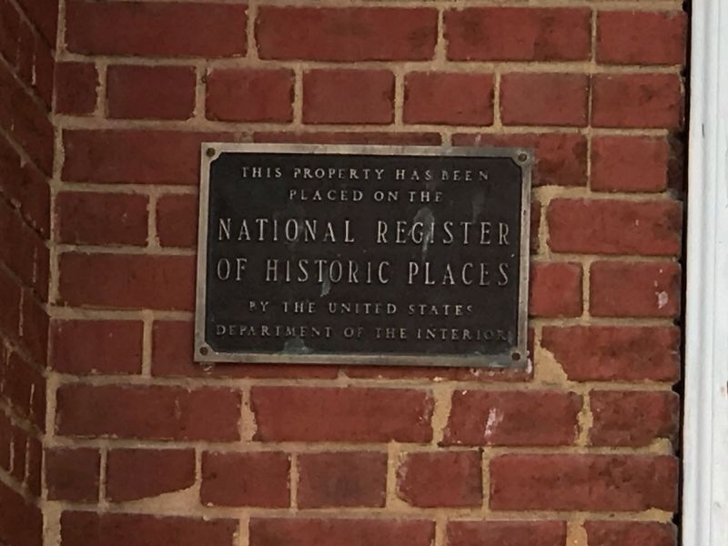
4. Munns School National Register of Historic Places marker
National Register of Historic Places
Inventory Nomination Form:
Click for more information.
Click for more information.
Credits. This page was last revised on January 4, 2022. It was originally submitted on April 26, 2021, by Duane and Tracy Marsteller of Murfreesboro, Tennessee. This page has been viewed 805 times since then and 52 times this year. Photos: 1, 2, 3, 4. submitted on April 26, 2021, by Duane and Tracy Marsteller of Murfreesboro, Tennessee.
