Madisonville in Hopkins County, Kentucky — The American South (East South Central)
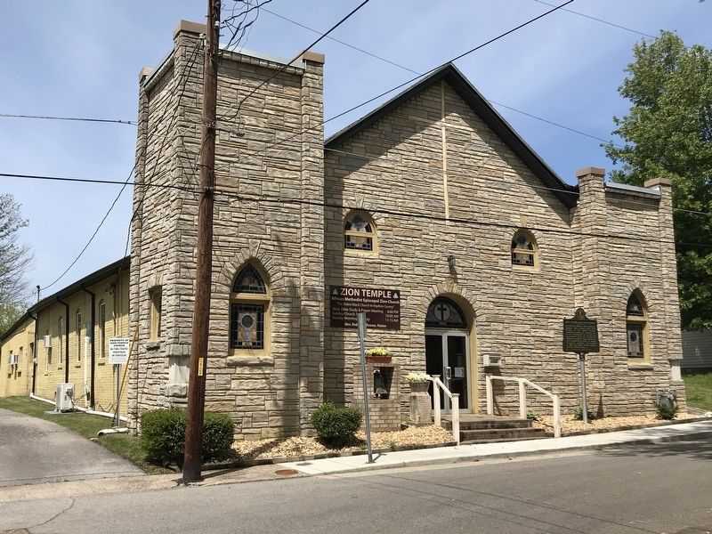
Zion Temple A.M.E. Zion Church
⎯⎯⎯
The Freedom Church

Photographed by Duane and Tracy Marsteller, April 25, 2021
1. Zion Temple A.M.E. Zion Church Marker
Erected 2019 by Kentucky Historical Society and Kentucky Department of Highways. (Marker Number 2611.)
Topics and series. This historical marker is listed in these topic lists: African Americans • Religion & Religious Structures. In addition, it is included in the African Methodist Episcopal Zion (AME Zion) Church, and the Kentucky Historical Society series lists. A significant historical year for this entry is 1868.
Location. 37° 19.949′ N,
this page online

Regionally, this marker is in the Tri-State Region and in the Western Coal Field. It is also in the American Midwest, in the South, and specifically in the Upper South. Globally, it is in North America, the Western Hemisphere, the Western World, and the Anglosphere. Historically, it finds itself in what was once the territory of the Mississippian Culture and also the Antebellum South.
Other nearby markers. At least 8 other markers are within walking distance of this marker: Army of Six (approx. 0.2 miles away); Harvey-Bassett House (approx. 0.2 miles away); Dr. Thomas Wright Gardiner House (approx. 0.4 miles away); Courthouse Burned (approx. half a mile away); County Named, 1806 (approx. half a mile away); Gov. Ruby Laffoon (approx. 0.6 miles away); Forrest Reconnoitered
Photographed by Duane and Tracy Marsteller, April 25, 2021
2. Zion Temple A.M.E. Zion Church Marker
Credits. This page was last revised on December 11, 2025. It was originally submitted on April 26, 2021, by Duane and Tracy Marsteller of Murfreesboro, Tennessee. This page has been viewed 482 times since then and 37 times this year. Photos: 1, 2. submitted on April 26, 2021, by Duane and Tracy Marsteller of Murfreesboro, Tennessee.
