Roswell in Fulton County, Georgia — The American South (South Atlantic)
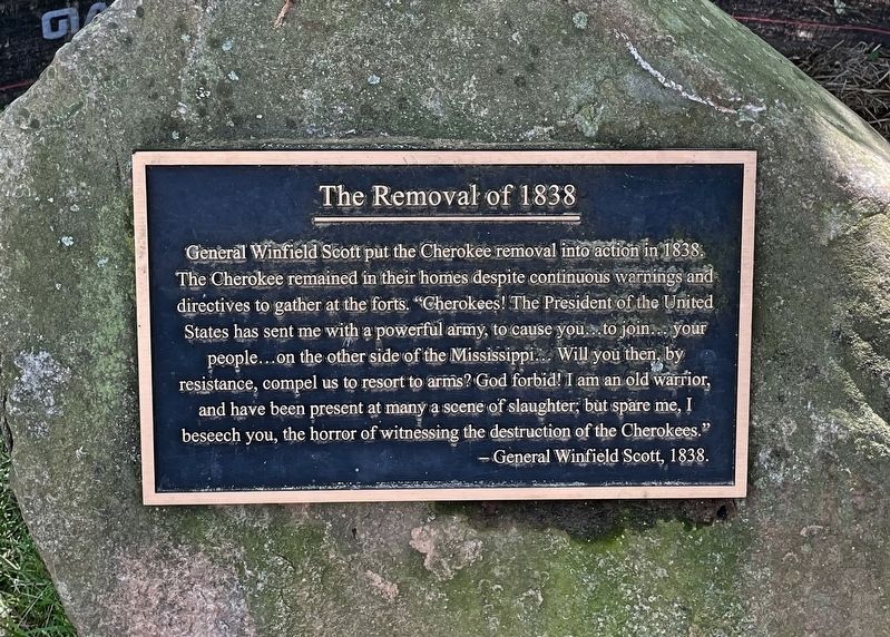
The Removal of 1838
Erected 2014 by Roswell Historical Society.
Topics and series. This historical marker is listed in this topic list: Native Americans. In addition, it is included in the Trail of Tears series list. A significant historical year for this entry is 1838.
Location. 34° 0.339′ N, 84° 20.897′ W. Marker is in Roswell, Georgia, in Fulton County. Marker can be reached from Riverside Road, 0.4 miles east of Roswell Road. Located along the Roswell Riverside Trail at the Riverside Park. Touch for map. Marker is at or near this postal address: 575 Riverside Rd, Roswell GA 30075, United States of America. Touch for directions.
Other nearby markers. At least 8 other markers are within walking distance of this marker. Army of the Tennessee at Roswell (within shouting distance of this marker); Lynching in America / Lynching of Mack Henry Brown (within shouting distance of this marker); The Trail of Tears (within shouting distance of this marker); To Honor Those Who Came Before Us (about 400 feet away, measured in a direct line); McPherson’s Troops at Shallow Ford (approx. ¼ mile away); Garrard’s Cav. & Newton’s Division (approx. ¼ mile away); Allenbrook (approx. 0.4 miles away); Mill Dam and Raceway (approx. 0.7 miles away). Touch for a list and map of all markers in Roswell.
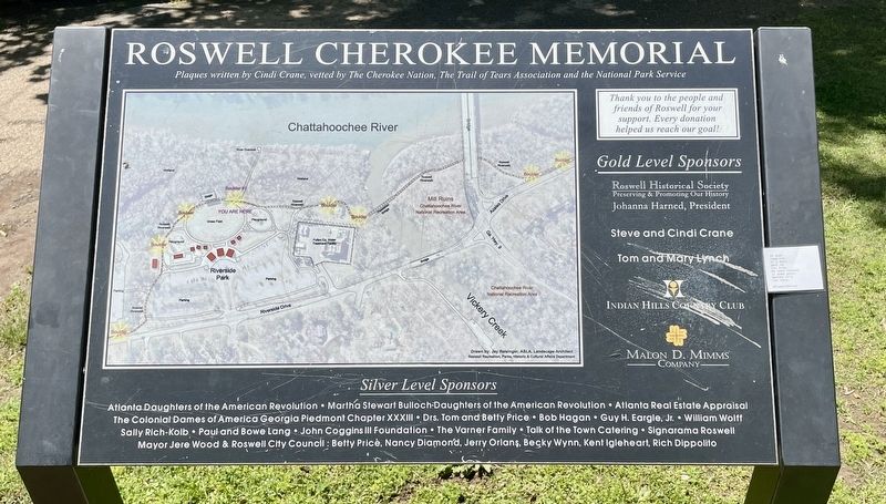
More about this marker. One of eight plaques, mounted on 1 to 2 ton boulders,, in honor of The Cherokee Nation and in remembrance of ”The Trail of Tears”.
Also see . . . Atlanta Journal Constitution article on the Trail of Tears. Roswell acknowledges its dark past, honors Cherokee Nation. (Submitted on April 26, 2021, by Mark Hilton of Montgomery, Alabama.)
Credits. This page was last revised on April 26, 2021. It was originally submitted on April 26, 2021, by Mark Hilton of Montgomery, Alabama. This page has been viewed 306 times since then and 44 times this year. Photos: 1, 2, 3. submitted on April 26, 2021, by Mark Hilton of Montgomery, Alabama.


