Covington in Kenton County, Kentucky — The American South (East South Central)
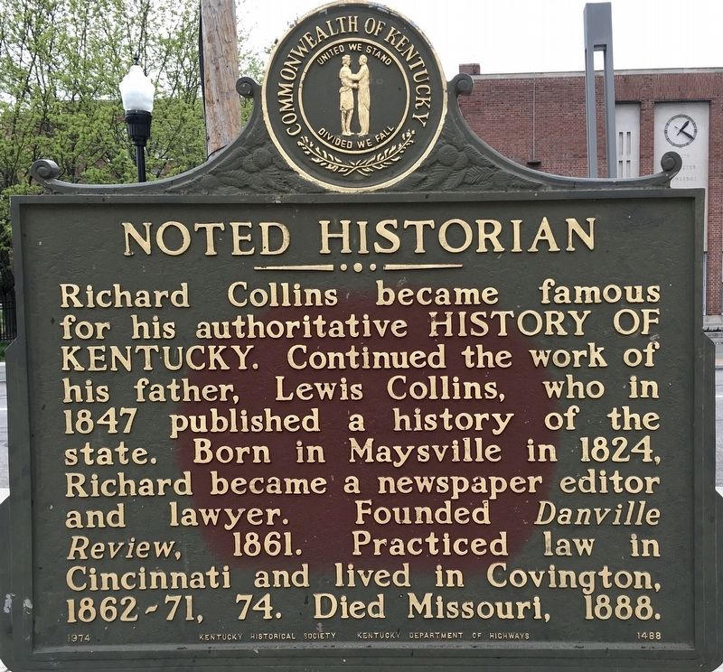
Noted Historian
Photographed by Craig Baker, April 17, 2021
1. Noted Historian Marker
Erected 1974 by Kentucky Historical Society; and Kentucky Department of Highways. (Marker Number 1488.)
Topics and series. This historical marker is listed in these topic lists: Arts, Letters, Music • Industry & Commerce. In addition, it is included in the Kentucky Historical Society series list. A significant historical year for this entry is 1847.
Location. 39° 5.122′ N, 84° 30.524′ W. Marker is in Covington, Kentucky, in Kenton County. It is on Scott Boulevard just south of 5th Street, on the left when traveling south. Touch for map. Marker is at or near this postal address: 502 Scott Blvd, Covington KY 41011, United States of America. Touch for directions.

Regionally, this marker is in Kentucky’s Outer Bluegrass. It is also in
this page online
Other nearby markers. At least 8 other markers are within walking distance of this marker: Clayton-Bullock House (about 400 feet away, measured in a direct line); Grant House (about 400 feet away); First United Methodist Church (about 500 feet away); Dr. Geo. V. Flaig (about 500 feet away); Northern KY’s 1st Hospital (about 700 feet away); Arnold House (about 700 feet away); Hearne Mansion (approx. 0.2 miles away); Trinity Episcopal Church (approx. 0.2 miles away). Touch for a list and map of all markers in Covington.
Photographed by Craig Baker, April 17, 2021
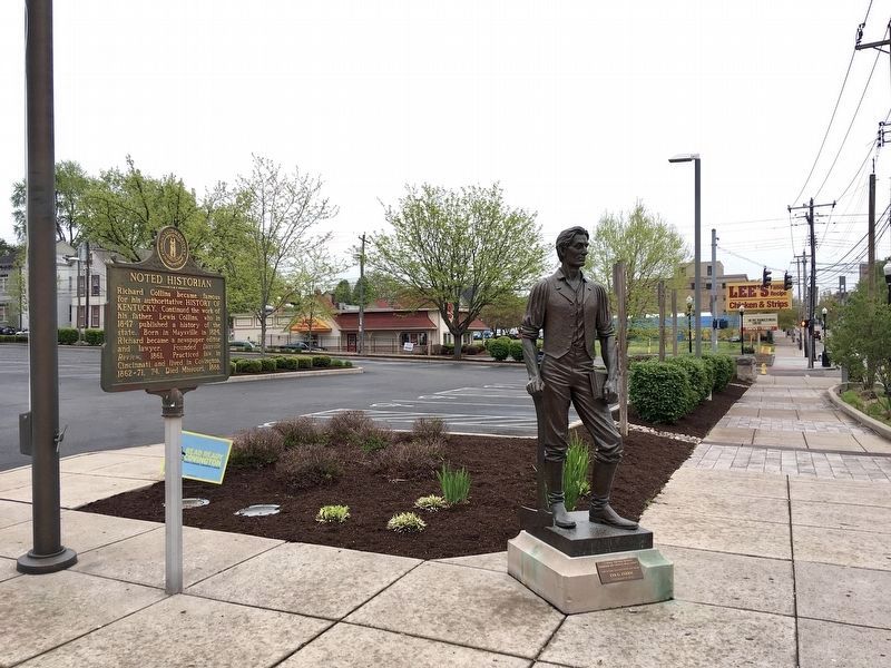
2. Noted Historian Marker
Near a statue of Abraham Lincoln.
Credits. This page was last revised on April 28, 2021. It was originally submitted on April 26, 2021, by Craig Baker of Sylmar, California. This page has been viewed 366 times since then and 49 times this year. Photos: 1, 2. submitted on April 26, 2021, by Craig Baker of Sylmar, California. • J. Makali Bruton was the editor who published this page.
