Archbold in Fulton County, Ohio — The American Midwest (Great Lakes)
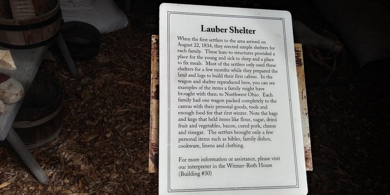
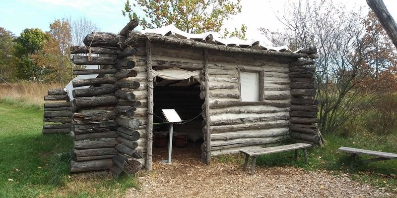
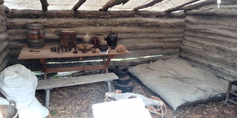
Lauber Shelter
Photographed by Craig Doda, October 17, 2020
1. Lauber Shelter Marker
For more information or assistance, please visit
our interpreter in the Witmer-Roth House
(Building #30)
Topics. This historical marker is listed in this topic list: Notable Buildings. A significant historical date for this entry is August 22, 1834.
Location. 41° 32.421′ N, 84° 17.928′ W. Marker
this page online

Regionally, this marker is in Ohio’s Black Swamp and in the Till Plains. It is also in the American Midwest and in the Corn Belt. Globally, it is in North America, the Western Hemisphere, the Western World, and the Anglosphere. Historically, it finds itself in what was once the Haudenosaunee (Iroquois) Confederacy, the territory of the Mississippian Culture, and the Northwest Territory.
Other nearby markers. At least 8 other markers are within walking distance of this marker: Covered Wagon (a few steps from this marker); Log School (within shouting distance of this marker); Community Jail (about 400 feet away, measured in a direct line); Bethany United Brethren Church Bell (about 400 feet away); This Hungarian Migrant Worker's Wagon (about 500 feet away); Peter Stucky's Wagon Shop (about 600 feet away); Woodcarvers Shop (about 700 feet away); This Log House (about 800 feet away). Touch for a list and map
Photographed by Craig Doda, October 17, 2020
2. Lauber Shelter Marker
Photographed by Craig Doda, October 17, 2020
3. Lauber Shelter Marker
Credits. This page was last revised on April 29, 2021. It was originally submitted on April 27, 2021, by Craig Doda of Napoleon, Ohio. This page has been viewed 265 times since then and 22 times this year. Photos: 1, 2, 3. submitted on April 27, 2021, by Craig Doda of Napoleon, Ohio. • Bill Pfingsten was the editor who published this page.
