Marker Logo HMdb.org THE HISTORICAL
MARKER DATABASE
“Bite-Size Bits of Local, National, and Global History”
Near Archbold in Fulton County, Ohio — The American Midwest (Great Lakes)
 

Goll Woods

100 Acres of Virginia Timber


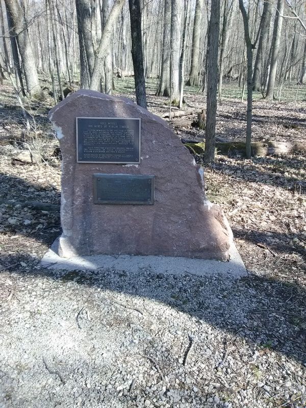
Goll Woods 100 Acres of Virginia Timber Marker image. Click for full size.
Photographed By Craig Doda, April 30, 2018
1. Goll Woods 100 Acres of Virginia Timber Marker
Inscription.
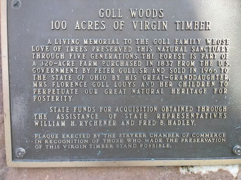
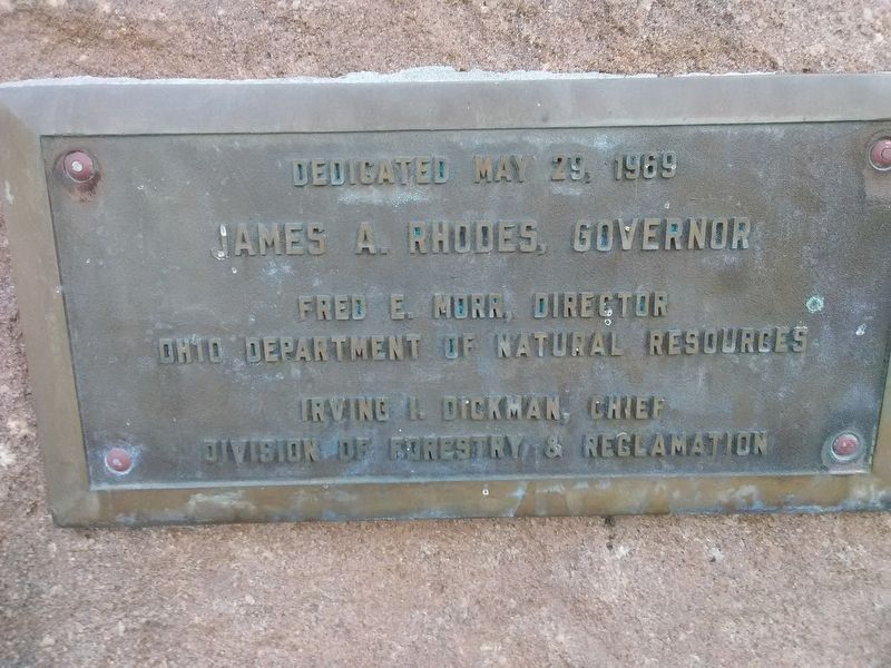
A living memorial to the Goll Family whose love of trees preserved this natural sanctuary through five generations. The forest is part of a 320-acre farm purchased in 1837 from the U.S. Government by Peter Goll, Sr. and sold in 1966 to the state of Ohio by his great-granddaughter, Mrs. Florence Goll Louys and her children to perpetuate our great natural heritage for posterity.

State funds for acquisition obtained through the assistance of state representatives William H. Rychener and Fred B. Hadley.
 
Erected by Stryker Chamber of Commerce in recognition of those who made the preservation of this Virgin Timber stand possible.
 
Topics and series. This historical marker is listed in this topic list: Horticulture & Forestry. In addition, it is included in the National Natural Landmarks series list. A significant historical year for this entry is 1837.
 
Location. 41° 33.27′ N, 84° 21.673′ W. Marker is near Archbold, Ohio, in Fulton County. Marker is on County Road 26, 0.3 miles south of County Road F, on the right when traveling north. Touch for map. Marker is in this post office area: Archbold OH 43502, United States of America. Touch for directions.
 
Other nearby markers. At least 8 other markers are within 4 miles of this marker, measured as the crow flies. Goll Woods / Deputy Surveyor James Riley (a few steps from this marker); Bur Oak (about 600 feet away, measured

Paid Advertisement
Click on the ad for more information.
Please report objectionable advertising to the Editor.
Click or scan to see
this page online
in a direct line); Ohio Champion (approx. 0.2 miles away); 1815 Michigan Meridian Crossing (approx. ¼ mile away); Goll Cemetery (approx. 0.4 miles away); What About That Arrow? (approx. 2.7 miles away); Floral Grove Cemetery Veterans Memorial (approx. 3 miles away); Archbold (approx. 3.1 miles away). Touch for a list and map of all markers in Archbold.
 
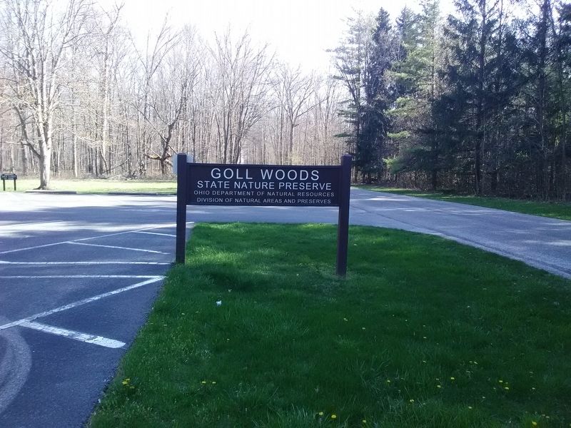
Goll Woods 100 Acres of Virginia Timber Marker image. Click for full size.
Photographed By Craig Doda, April 30, 2018
2. Goll Woods 100 Acres of Virginia Timber Marker
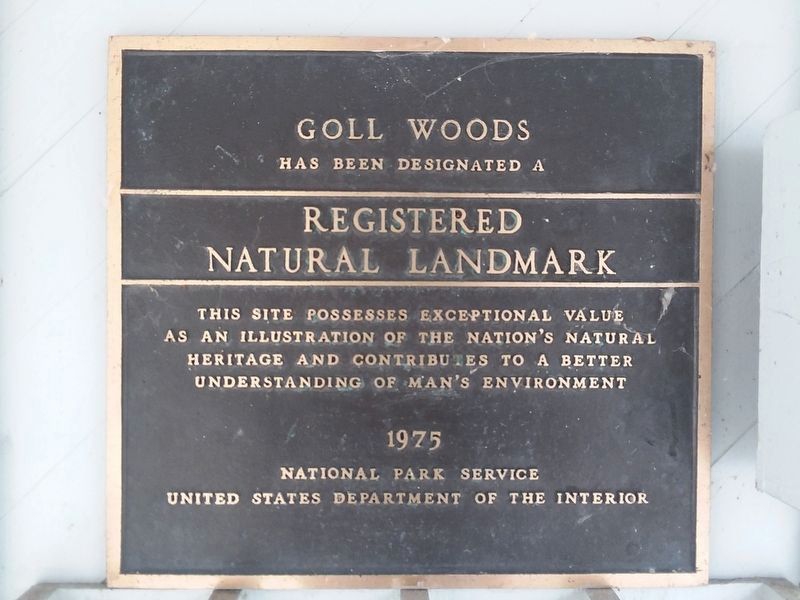
Goll Woods 100 Acres of Virginia Timber Marker image. Click for full size.
Photographed By Craig Doda, April 30, 2018
3. Goll Woods 100 Acres of Virginia Timber Marker
Goll Woods 100 Acres of Virginia Timber Marker image. Click for full size.
Photographed By Craig Doda, April 30, 2018
4. Goll Woods 100 Acres of Virginia Timber Marker
National Natural Landmark Plaque on the grounds image. Click for full size.
Photographed By Craig Doda, March 9, 2019
5. National Natural Landmark Plaque on the grounds
 
 
Credits. This page was last revised on May 1, 2021. It was originally submitted on April 27, 2021, by Craig Doda of Napoleon, Ohio. This page has been viewed 168 times since then and 20 times this year. Photos:   1, 2, 3, 4, 5. submitted on April 27, 2021, by Craig Doda of Napoleon, Ohio. • Devry Becker Jones was the editor who published this page.
Share this page.  
Share on Tumblr
m=172010

CeraNet Cloud Computing sponsors the Historical Marker Database.
This website earns income from purchases you make after using our links to Amazon.com. We appreciate your support.
Paid Advertisement
May. 7, 2024