Near West Carrollton in Montgomery County, Ohio — The American Midwest (Great Lakes)
The Wright Seaplane Base / Wright Model G "Aeroboat"
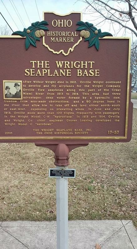
The Wright Seaplane Base
After Wilbur Wright died in 1912, Orville Wright continued to develop and fly airplanes for the Wright Company. Orville flew seaplanes along this part of the Great Miami River from 1913 to 1914. This area had three advantages; deep water formed by a hydraulic dam, freedom from man-made obstructions, and a 90 degree bend in the river that allow him to take off and land either north-south or or east-west depending on prevailing winds. In June and July 1913, Orville made more than 100 flights, frequently with passengers, in the Wright Model C-H "hydroplane". In 1913 and 1914, Orville and Wright Co. chief engineer Grover Loening developed the Wright Model C "aeroboat".
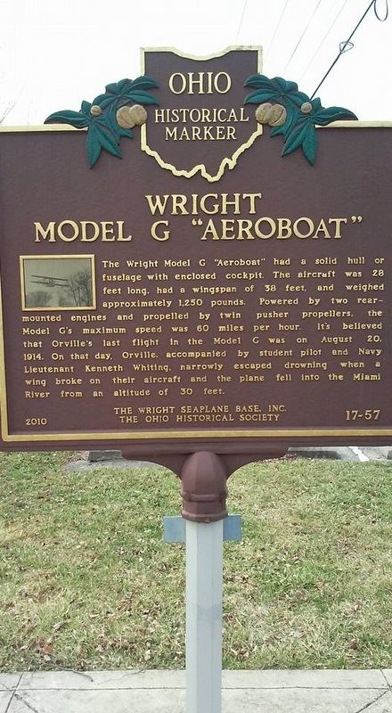
Wright Model G "Aeroboat"
The Wright Model G "Aeroboat" had a solid hull or fuselage with enclosed cockpit. The aircraft was 28 feet long, had a wingspan of 38 feet, and weighed approximately 1250 pounds. Powered by two rear-mounted engines and propelled by twin pusher propellers, the Model G's maximum speed was 60 miles per hour. It's believed that Orville's last flight in the Model G was on August 20, 1914. On that day, Orville, accompanied by student pilot and Navy Lieutenant Kenneth Whiting, narrowly escaped drowning when a wing broke on their aircraft and the plane fell into the Miami River from an altitude
Erected 2010 by The Wright Seaplane Base, Inc. The Ohio Historical Society. (Marker Number 17-57.)
Topics and series. This historical marker is listed in these topic lists: Air & Space • Industry & Commerce. In addition, it is included in the Ohio Historical Society / The Ohio History Connection series list.
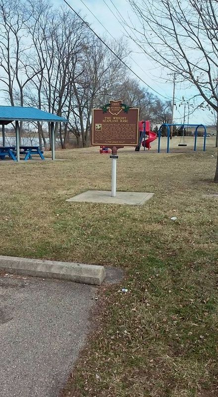
Location. 39° 40.826′ N, 84° 13.963′ W. Marker is near West Carrollton, Ohio, in Montgomery County. Marker is on Marina Drive, 0.2 miles east of Crossover Street, on the left when traveling east. Located in the Miami and Erie Canal Park, near the parking lot. Touch for map. Marker is at or near this postal address: 5449 Marina Dr, Dayton OH 45449, United States of America. Touch for directions.
Other nearby markers. At least 8 other markers are within 2 miles of this marker, measured as the crow flies. Wright Model G Seaplane (approx. 0.2 miles away); Woody's Market (approx. half a mile away); Moraine Veterans Memorial (approx. 0.6 miles away); Historic Blanchard Avenue (approx. one mile away); Dayton-Wright Airplane Factory (approx. 1.1 miles away); Delco-Light and Frigidaire (approx. 1.1 miles away); Johnny Appleseed Site (approx. 1.2 miles away); Zion Memorial Church (approx. 1.4 miles away). Touch for a list and map of all markers in West Carrollton.
Credits. This page was last revised on April 27, 2021. It was originally submitted on February 17, 2017, by Michael Baker of Lima, Ohio. This page has been viewed 530 times since then and 32 times this year. Last updated on April 27, 2021, by Craig Baker of Sylmar, California. Photos: 1, 2, 3. submitted on February 17, 2017, by Michael Baker of Lima, Ohio. • J. Makali Bruton was the editor who published this page.


