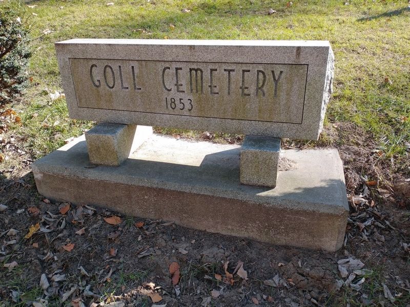
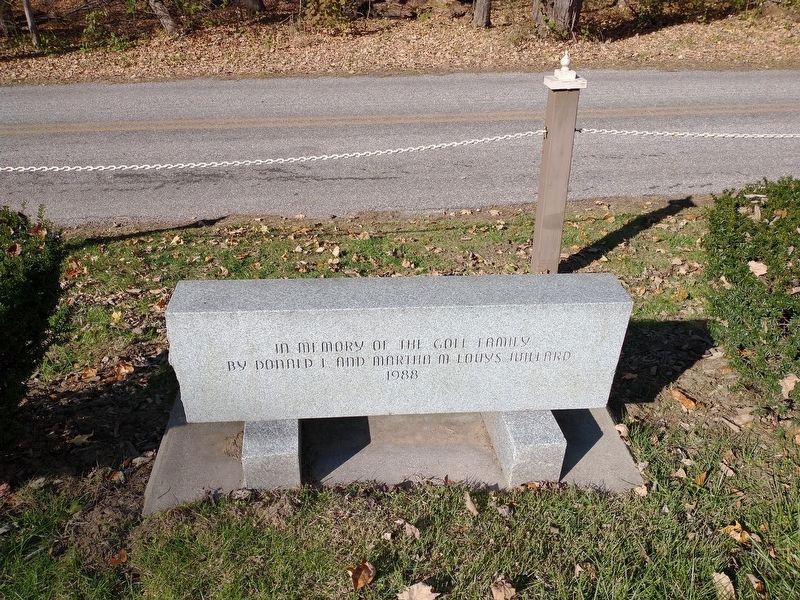
Goll Cemetery
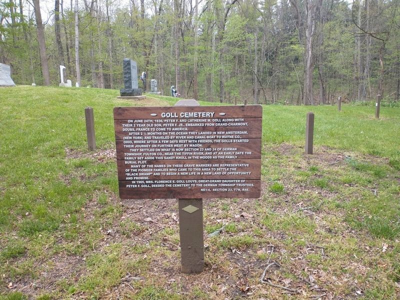
On June 24th, 1836, Peter F. and Catherine M. Goll along with their 2 year old son, Peter F. Jr., embarked from Grand-Charmont, Doubs, France to come to America.
After 2 ½ months on the ocean they landed in New Amsterdam, (New York) and traveled by river and canal boat to Wayne Co., Ohio, where after a few days rest with friends, the Golls started their journey on further west by wagon.
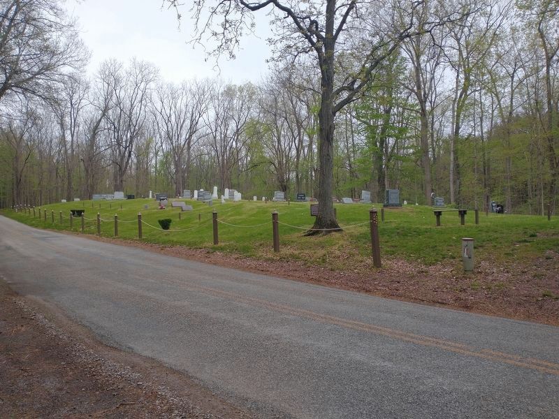
They settled on what is now section 23 and 24 of German Township, Fulton Co., near the Tiffin River, and at an early date the family set aside this sandy knoll in the woods as the family burial plot.
Many of the names on these grave markers are representative of the pioneer families who came to this area to settle the "Black Swamp” and to begin a new life in a new land of opportunity and promise.
In 1965, Mrs. Florence E. Goll Louys, great-grand daughter of Peter F. Goll, deeded the cemetery to the German Township Trustees.
NE1/4, Section 23, T7N, R4E.
Topics. This historical marker is listed in these topic lists: Cemeteries & Burial Sites • Settlements & Settlers. A significant historical date for this entry is June 24, 1836.
Location. 41° 33.358′ N, 84° 22.075′ W. Marker is in Archbold, Ohio, in Fulton County. Marker is on County Road F, 0.4 miles west of County Road 26,
Other nearby markers. At least 8 other markers are within 4 miles of this marker, measured as the crow flies. Goll Woods / Deputy Surveyor James Riley (approx. 0.4 miles away); Goll Woods (approx. 0.4 miles away); Ohio Champion (approx. 0.4 miles away); Bur Oak (approx. half a mile away); 1815 Michigan Meridian Crossing (approx. 0.6 miles away); What About That Arrow? (approx. 2.6 miles away); Floral Grove Cemetery Veterans Memorial (approx. 2.7 miles away); Archbold (approx. 3˝ miles away). Touch for a list and map of all markers in Archbold.
Credits. This page was last revised on November 9, 2021. It was originally submitted on April 27, 2021, by Craig Doda of Napoleon, Ohio. This page has been viewed 184 times since then and 13 times this year. Photos: 1, 2. submitted on October 17, 2021, by Craig Doda of Napoleon, Ohio. 3, 4. submitted on November 8, 2021, by Craig Doda of Napoleon, Ohio. • Devry Becker Jones was the editor who published this page.


