Mixquiahuala, Hidalgo, Mexico — The Central Highlands (North America)
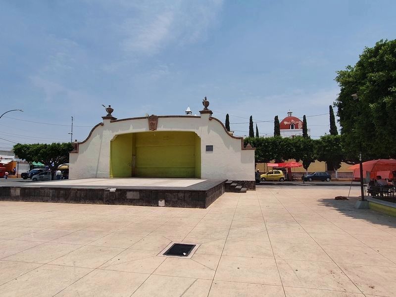
Mixquiahuala as the Site of State Congress
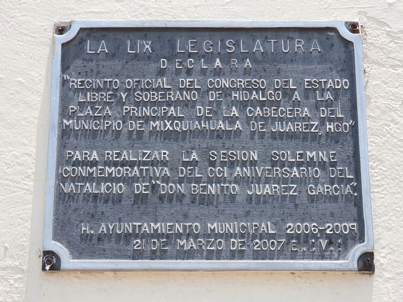
Inscription.
“Recinto official del Congreso del Estado Libre y Soberano de Hidalgo a la Plaza Principal de la cabecera del municipio de Mixquiahuala de Juarez, Hgo”
Para realizar la sesión solemne conmemorativa del CCI aniversario del natalicio de “Don Benito Juarez Garcia.”
H. Ayuntamiento Municipal 2006-2009
21 de marzo de 2007 E.:V.:
The 59th Legislature declares
"Official site of the Congress of the Free and Sovereign State of Hidalgo on the main square of the municipal capital of Mixquiahuala de Juárez, Hidago"
During the solemn session commemorating the 201st anniversary of the birth of Benito Juárez Garcia.
Honorable Municipal City Hall of 2006-2009
March 21, 2007 E.:V.:
Erected 2007.
Topics. This historical marker is listed in this topic list: Government & Politics. A significant historical date for this entry is March 21, 2007.
Location. 20° 13.791′ N, 99° 12.855′ W. Marker is in Mixquiahuala, Hidalgo. Marker is on Nicolás Bravo just north of Ignacio Allende, on the left when traveling north. Touch for map. Marker is in this post office area: Mixquiahuala HGO 42700, Mexico. Touch for directions.
Other nearby markers. At least 8 other markers are within 23 kilometers of this marker, measured as the crow flies. Mixquiahuala Tribute to Benito Juárez (within shouting distance of this marker); First House in Mixquiahuala (within shouting distance of this marker); Creation of the Municipality of Progreso de Obregón (approx. 3.3 kilometers away); First International Book and Reading Fair (approx. 7.4 kilometers away); Foundation of the Municipality of Tlahuelilpan (approx. 11.1 kilometers away); Francisco I. Madero (approx. 11.4 kilometers away); Miguel Hidalgo y Costilla (approx. 18 kilometers away); Tula (approx. 22.6 kilometers away). Touch for a list and map of all markers in Mixquiahuala.
More about this marker. The abbreviation "E.:V.:" probably stands for "Era Vulgus" or "Common Era".
Credits. This page was last revised on April 27, 2021. It was originally submitted on April 27, 2021, by J. Makali Bruton of Accra, Ghana. This page has been viewed 59 times since then and 6 times this year. Photos: 1, 2, 3. submitted on April 27, 2021, by J. Makali Bruton of Accra, Ghana.


