Near Sapulpa in Creek County, Oklahoma — The American South (West South Central)
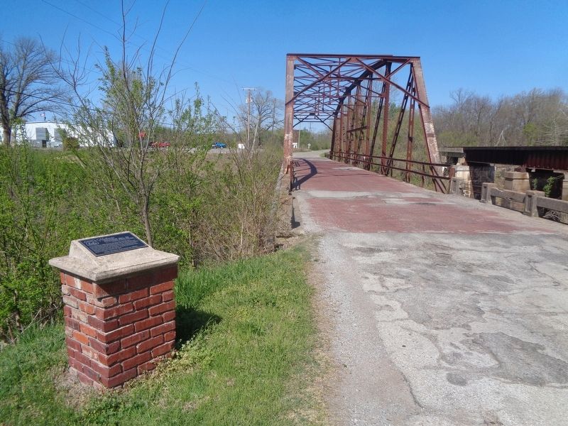
Rock Creek Bridge
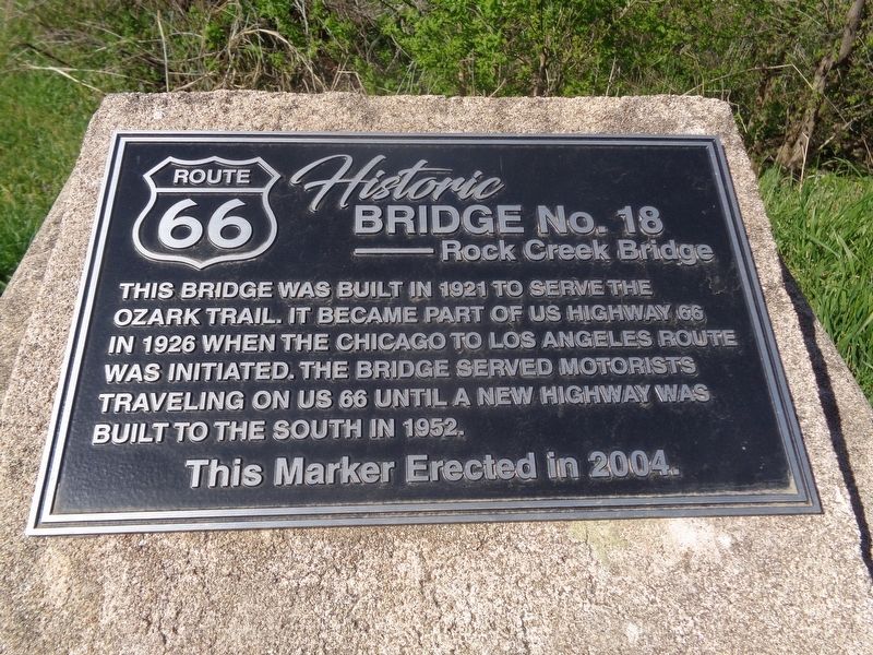
Route 66 Historic Bridge No. 18
This bridge was built in 1921 to serve the Ozark Trail. It became part of US Highway 66 in 1926 when the Chicago to Los Angeles route was initiated. The bridge served motorists traveling on US 66 until a new highway was built to the south in 1952.
Erected 2004.
Topics and series. This historical marker is listed in these topic lists: Bridges & Viaducts • Roads & Vehicles. In addition, it is included in the U.S. Route 66 series list. A significant historical year for this entry is 1921.
Location. 35° 59.619′ N, 96° 8.174′ W. Marker is near Sapulpa, Oklahoma, in Creek County. Marker is on West Ozark Trail (Old U.S. 66) west of West Dewey Avenue (State Highway 66), on the left when traveling west. Touch for map. Marker is at or near this postal address: 1201 W Ozark Trail, Sapulpa OK 74066, United States of America. Touch for directions.
Other nearby markers. At least 8 other markers are within 10 miles of this marker, measured as the crow flies. Earle Berryhill Building (approx. 1.3 miles away); Sapulpa (approx. 2 miles away); Glenn Pool (approx. 7.4 miles away); First Gas Processing Plant West of Mississippi River (approx. 7.4 miles away); Twin Mounds Community (approx. 7.8 miles away); Twin Mounds Cemetery and Community (approx. 7.8 miles away); The Motoring Public 1926 (approx. 9.7 miles away); A New Century 1901-1926 (approx. 9.7 miles away). Touch for a list and map of all markers in Sapulpa.
Also see . . . Oklahoma: Bridge #18 at Rock Creek. National Park Service website entry (Submitted on June 7, 2023, by Larry Gertner of New York, New York.)
Credits. This page was last revised on June 7, 2023. It was originally submitted on April 27, 2021, by Jason Voigt of Glen Carbon, Illinois. This page has been viewed 251 times since then and 41 times this year. Photos: 1, 2. submitted on April 27, 2021, by Jason Voigt of Glen Carbon, Illinois.

