Providence in Webster County, Kentucky — The American South (East South Central)
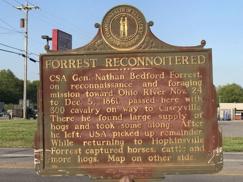
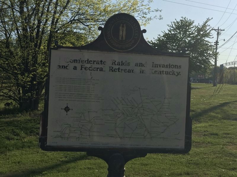
Forrest Reconnoitered
Erected 1963 by Kentucky Historical Society and Kentucky Department of Highways. (Marker Number 817.)
Topics and series. This historical marker is listed in this topic list: War, US Civil. In addition, it is included in the Kentucky Historical Society series list. A significant historical month for this entry is November 1864.
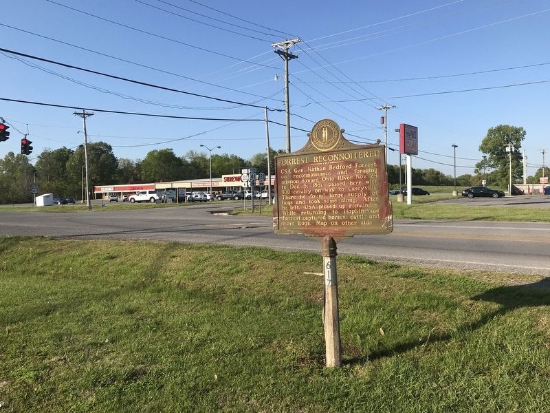
Location. 37° 24.572′ N, 87° 43.996′ W. Marker is in Providence, Kentucky, in Webster County. Marker is at the intersection of Alternate U.S. 41 and Westerfield Drive (Kentucky Route 120), on the right when traveling south on U.S. 41Alternate . Touch for map. Marker is in this post office area: Providence KY 42450, United States of America. Touch for directions.
Other nearby markers. At least 8 other markers are within 12 miles of this marker, measured as the crow flies. 1917 Coal Mine Explosion (approx. 6.6 miles away); Kentucky Authors (approx. 7.6 miles away); Encounter at Burnt Mill (approx. 7.6 miles away); County Named, 1860 (approx. 7.8 miles away); Webster County Courthouse (approx. 7.8 miles away); Steuben's Lick (approx. 9.3 miles away); a different marker also named Steuben's Lick (approx. 9.3 miles away); Jackson Stage Stop (approx. 11.4 miles away).
Credits. This page was last revised on April 28, 2021. It was originally submitted on April 27, 2021, by Duane and Tracy Marsteller of Murfreesboro, Tennessee. This page has been viewed 171 times since then and 17 times this year. Photos: 1, 2, 3. submitted on April 27, 2021, by Duane and Tracy Marsteller of Murfreesboro, Tennessee.


