Riverview in Tulsa in Tulsa County, Oklahoma — The American South (West South Central)
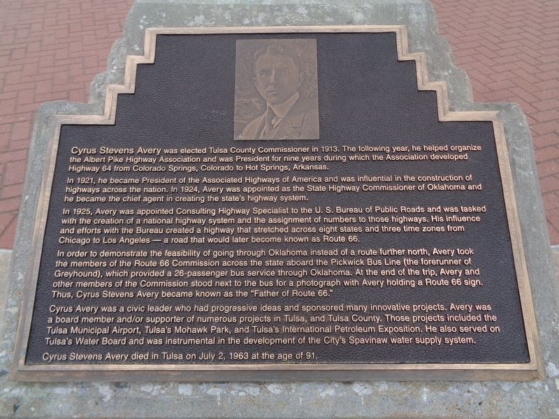
Cyrus Stevens Avery
Photographed by Jason Voigt, April 7, 2021
1. Cyrus Stevens Avery Marker
In 1921, he became President of the Associated Highways of America and was influential in the construction of highways across the nation. In 1924, Avery was appointed as the State Highway Commissioner of Oklahoma and he became the chief agent in creating the state's highway system.
In 1925, Avery was appointed Consulting Highway Specialist to the U.S. Bureau of Public Roads and was tasked with the creation of a national highway system and the assignment of numbers to those highways. His influence and efforts with the Bureau created a highway that stretched across eight states and three time zones from Chicago to Los Angeles - a road that would later become known as Route 66.
In order to demonstrate the feasibility of going through Oklahoma instead of a route further north, Avery took the members of the Route 66 Commission across the
this page online
Cyrus Avery was a civic leader who had progressive ideas and sponsored many innovative projects. Avery was a board member and/or supporter of numerous projects in Tulsa, and Tulsa County. Those projects included the Tulsa Municipal Airport, Tulsa's Mohawk Park, and Tulsa's International Petroleum Exposition. He also served on Tulsa's Water Board and was instrumental in the development of the City's Spavinaw water supply system.
Cyrus Stevens Avery died in Tulsa on July 2, 1963 at the age of 91.
Erected by Vision 2025.
Topics and series. This historical marker is listed in this topic list: Roads & Vehicles. In addition, it is included in the U.S. Route 66 series list. A significant historical date for this entry is July 2, 1963.
Location. 36° 8.676′ N, 96° 0.191′ W. Marker is in Tulsa, Oklahoma, in Tulsa
Photographed by Jason Voigt, April 7, 2021
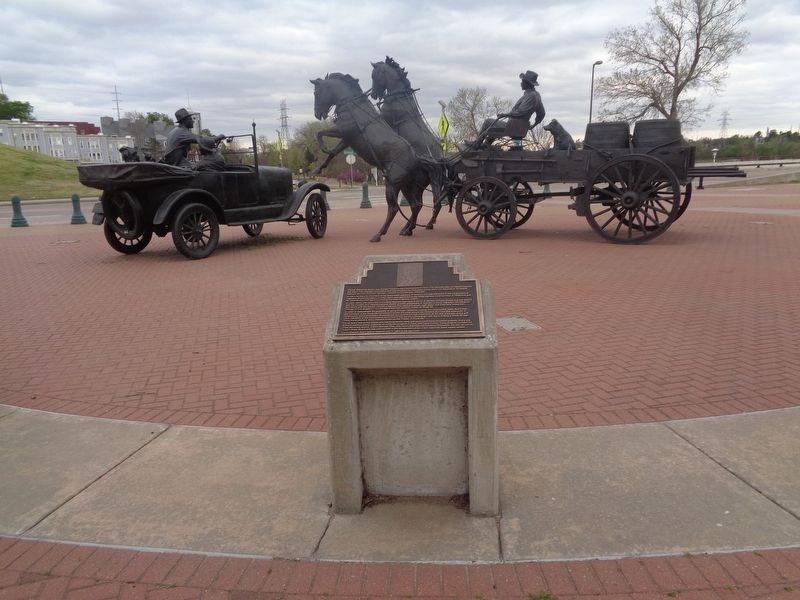
2. Cyrus Stevens Avery Marker

Regionally, this marker is in the Muscogee Nation, specifically in the Cherokee Nation, and in Northeast Oklahoma—Green Country. It is also in the American South, specifically on the prairies, and on the Southern Plains. Globally, it is in North America, the Western Hemisphere, the Western World, and the Anglosphere. Historically, it finds itself in what was once the territory of the Mississippian Culture and also the Louisiana Purchase.
Other nearby markers. At least 8 other markers are within walking distance of this marker: "East Meets West" (here, next to this marker); Cyrus Avery Route 66 Memorial Bridge (here, next to this marker); The Bridge Builder (here, next to this marker); Tulsa's 11th Street Bridge (within shouting distance of this marker); a different
Photographed by Jason Voigt, April 7, 2021
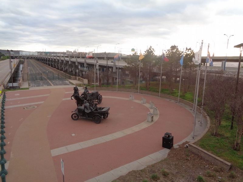
3. Cyrus Avery Centennial Plaza
View from the pedestrian bridge, looking over the plaza. Marker is the middle of the five. All eight flags represent the states that Route 66 passed through.
Another marker is no longer nearby. 11th Street Bridge, Tulsa, Oklahoma (was within shouting distance of this marker but has been permanently removed).
Photographed by Jason Voigt, April 7, 2021
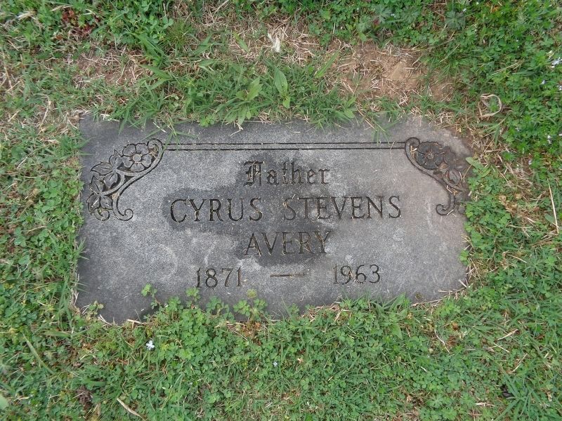
4. Cyrus Avery grave
Avery is buried at Rose Hill Cemetery in Tulsa.
Credits. This page was last revised on February 16, 2023. It was originally submitted on April 28, 2021, by Jason Voigt of Glen Carbon, Illinois. This page has been viewed 675 times since then and 44 times this year. Photos: 1, 2, 3. submitted on April 28, 2021, by Jason Voigt of Glen Carbon, Illinois. 4. submitted on April 25, 2021, by Jason Voigt of Glen Carbon, Illinois.
