Niland in Imperial County, California — The American West (Pacific Coastal)
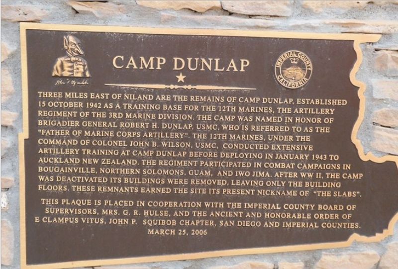
Camp Dunlap
Photographed by Tim Wilcox
1. Camp Dunlap Marker
Erected 2006 by Imperial County Board of Supervisors; Mrs. G.R. Hulse; E Clampus Vitus; Squibob Chapter.
Topics and series. This historical marker is listed in these topic lists: Military • War, World II. In addition, it is included in the E Clampus Vitus series list. A significant historical date for this entry is October 15, 1942.
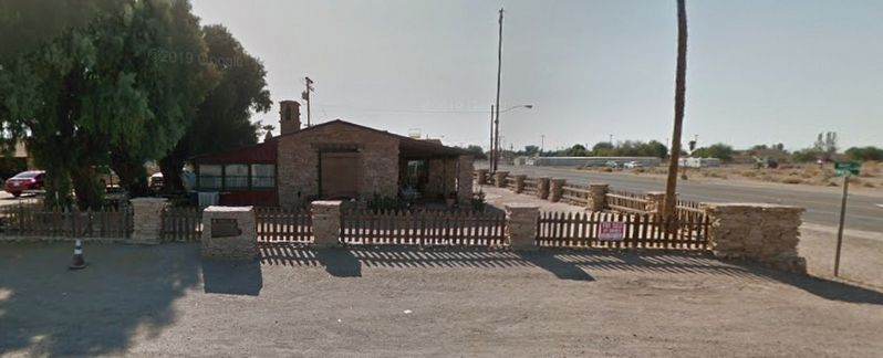
Location. 33° 14.405′ N, 115° 31.121′ W. Marker is in Niland, California, in Imperial County. It is at the intersection of Main Street and Route
this page online

Regionally, this marker is in the Imperial Valley. It is also in the American Borderlands and in the Southwest. Globally, it is in North America, on the Ring of Fire, on the Pacific Rim, in the Western Hemisphere, in the Western World, and in the Anglosphere. Historically, it finds itself in what was once New Spain and also Mexico’s Alta California.
Other nearby markers. At least 2 other markers are within 3 miles of this marker, measured as the crow flies: Leonard Knight's Salvation Mountain (approx. 2.8 miles away); Salvation Mountain (approx. 2.8 miles away).
Additional keywords. ECV
Photographed by Tim Wilcox
2. Camp Dunlap Marker
Credits. This page was last revised on April 29, 2021. It was originally submitted on April 28, 2021, by Tim Wilcox of Los Angeles, California. This page has been viewed 1,773 times since then and 188 times this year. Photos: 1. submitted on April 28, 2021, by Tim Wilcox of Los Angeles, California. 2. submitted on April 28, 2021. • Syd Whittle was the editor who published this page.
