Sandy in Salt Lake County, Utah — The American Mountains (Southwest)
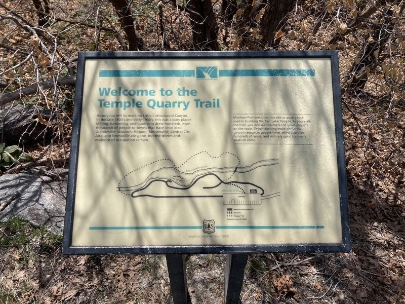
Welcome to the Temple Quarry Trail
Mormon Pioneers used this site to quarry rock used in building the Salt Lake Temple. As you walk the trail, you will see the marks of quarrying left on the rocks. Enjoy learning more about the canyon resources people have relied on For hundreds of years, and will rely upon for many years to come.
Erected by US Forest Service, Department of Agriculture.
Topics. This historical marker is listed in this topic list: Industry & Commerce.
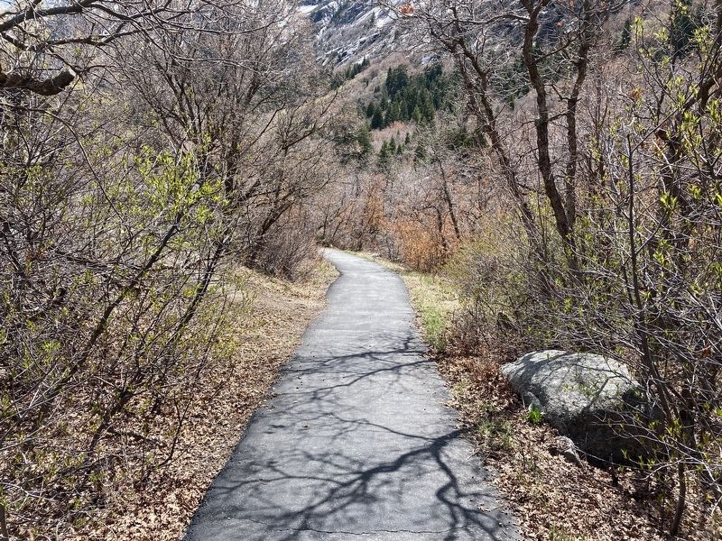
Location. 40° 34.311′ N, 111° 46.478′ W. Marker is in Sandy, Utah, in Salt Lake County. Marker can be reached from Utah Route 209 near Utah Route 210. The marker is located on the Temple Quarry Nature Trail. Touch for map. Marker is in this post office area: Sandy UT 84092, United States of America. Touch for directions.
Other nearby markers. At least 8 other markers are within 2 miles of this marker, measured as the crow flies. Your Roots (a few steps from this marker); Temple Stone Quarry (within shouting distance of this marker); Temple Granite Quarry (within shouting distance of this marker); a different marker also named Welcome to the Temple Quarry Trail (within shouting distance of this marker); Temple Quarry Amphitheater (within shouting distance of this marker); Rocky Mountain Goat Lookout (about 300 feet away, measured in a direct line); Plugging into Water (about 400 feet away); Granite Settlement (approx. 1.6 miles away). Touch for a list and map of all markers in Sandy.
Credits. This page was last revised on February 7, 2024. It was originally submitted on April 29, 2021, by Connor Olson of Kewaskum, Wisconsin. This page has been viewed 984 times since then and 55 times this year. Photos: 1, 2. submitted on April 29, 2021, by Connor Olson of Kewaskum, Wisconsin. • Syd Whittle was the editor who published this page.
Editor’s want-list for this marker. Wide area view of the marker and its surroundings. • Photo of the rocks showing the marks of the quarrying as stated in the marker text. • Can you help?

