History of Evan Mill and Crystal Spring

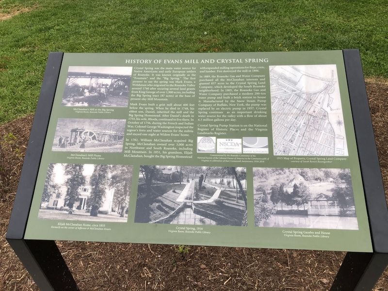
Crystal Spring was the main water source for Native Americans and early European settlers of Roanoke. It was known originally as the "Fountain" and the "Big Spring." The first pioneer to use the spring was Mark Evans, a Welshman who migrated to the Roanoke Valley around 1740 after securing several land grants from King George of over 1,900 acres, including the Big Spring tract (87 acres) at the base of present-day Mill Mountain.
Mark Evans built a grist mill about 400 feet below the spring. When he died in 1748, his eldest son, Daniel, inherited the mill and the Big Spring Homestead. After Daniel's death in 1755, his wife, Rhoda continued to live there. In October of 1756, during the French and Indian War, Colonel George Washington inspected the region's forts and water sources for the militia and stayed one night at Widow Evans' home.
In 1782, William McClanahan acquired Big Spring. McClanahan owned over 3,000 acres in Northwest and South Roanoke, including Mill Mountain. In 1851, his grandson, Elijah McClanahan, bought the Big Spring Homestead with expanded milling operations for flour, corn, and lumber. Fire destroyed the mill in 1886.
In 1889, the Roanoke Gas and Water Company purchased all the McClanahan interests and granted 837 acres to the Crystal Spring Land Company, which developed the South Roanoke neighborhood.
In 1905, the Roanoke gas and Water Company purchased a modern 200-ton water pump and built a brick station to house it. Manufactured by the Snow Steam Pump Company of Buffalo, New York, the pump was replaced by an electric pump in 1957. Crystal Spring continues as an important drinking water source for the valley with a flow of about 4.3 million gallons per day.
Crystal Spring Pump Station is on the National Register of Historic Places and the Virginia Landmarks Register.
Erected by Roanoke Valley Preservation Foundation; NSCDA Virginia; Western Virginia Water Authority.
Topics. This historical marker is listed in these topic lists: Charity & Public Work • Industry & Commerce • Settlements & Settlers • Waterways & Vessels. A significant historical month for this entry is October 1756.
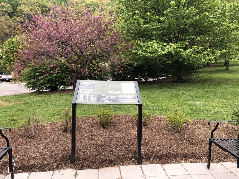
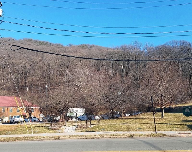
Location. 37° 14.974′ N, 79° 56.661′ W. Marker is in Roanoke, Virginia. Marker is on South Jefferson Street just north of Yellow Mountain Road (Virginia Route 668), on the right when traveling north. Touch for map. Marker is at or near this postal address: 2017 S Jefferson St, Roanoke VA 24014, United States of America. Touch for directions.
Other nearby markers. At least 8 other markers are within 2 miles of this marker, measured as the crow flies. Big Lick Presbyterian Church (within shouting distance of this marker); The Great Roanoke Fair & Mountain Park (approx. ¼ mile away); A Colonial Ford

Credits. This page was last revised on February 1, 2023. It was originally submitted on April 29, 2021, by Devry Becker Jones of Washington, District of Columbia. This page has been viewed 599 times since then and 91 times this year. Photos: 1, 2. submitted on April 29, 2021, by Devry Becker Jones of Washington, District of Columbia. 3. submitted on May 29, 2021, by Kevin W. of Stafford, Virginia.
