Virginia Museum of Transportation / Norfolk and Western Freight Station

You are at the western end of Roanoke's Railwalk. Behind you is the former grade crossing of 2nd Street (earlier known as Commerce Street).
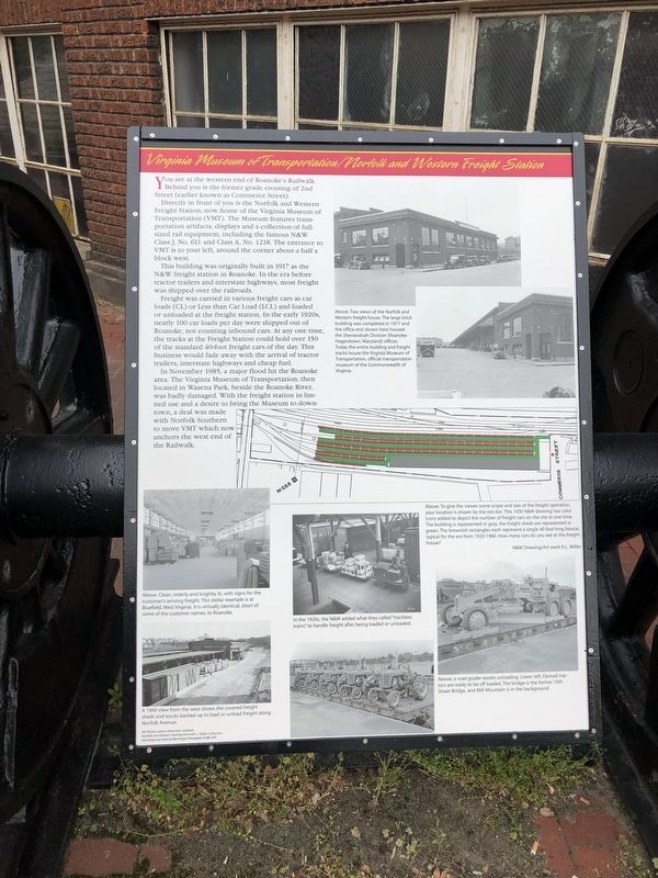
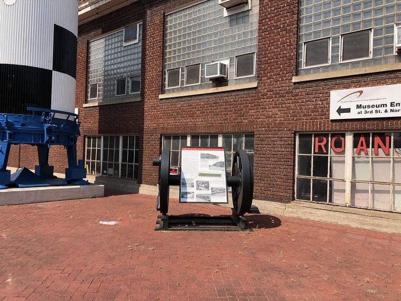
Directly in front of you is the Norfolk and Western Freight Station, now home of the Virginia Museum of Transportation (VMT). The Museum features transportation artifacts, displays and a collection of full-sized rail equipment, including the famous N&W Class J, No. 61 and Class A, No. 1218. The entrance to VMT is to your left, around the corner about a half a block west.
This building was originally built in 1917 as the N&W freight station in Roanoke. In the era before tractor trailers and interstate highways, most freight was shipped over the railroads.
Freight was carried in various freight cars as car loads (CL) or Less than Car Load (LCL) and loaded or unloaded at the freight station. In the early 1920s, nearly 100 car loads per day were shipped out of Roanoke, not counting inbound cars. At any one time, the tracks at the Freight Station could hold over 150 of the standard 40-foot freight cars of the day. This business would fade away with the arrival of tractor trailers, interstate highways and cheap fuel.
In November 1985, a major flood hit the Roanoke area. The Virginia Museum of Transportation, then located in Wasena Park, beside the Roanoke river, was badly damaged.
With the freight station in limited use and a desire to bring the Museum to downtown, a deal was made with Norfolk Southern to move VMT which now anchors the west end of the Railwalk.
[Captions:]
Above: Two views of the Norfolk and Western freight house. The large brick building was completed in 1917 and the office end shown here housed the Shenandoah Division (Roanoke-Hagerstown, Maryland) offices. Today the entire building and freight tracks house the Virginia Museum of Transportation, official transportation museum of the Commonwealth of Virginia.
Above: To give the viewer some scope and size of the freight operation, your location is shown by the red dot. This 1930 N&W drawing has color icons added to depict the number of freight cars on the site at one time. The building is represented in gray, the freight sheds are represented in green. The brownish rectangles each represent a single 40 foot long boxcar, typical for the era from 1920-1960. How many cars do you see at the freight house?
Above: Clean, orderly and brightly lit, with signs for the customer's arriving freight. This stellar example is at Bluefield, West Virginia. It is virtually identical, short of some of the customer names, to Roanoke.
In the 1920s, the N&W added what they called "trackless trains" to handle freight after being loaded or unloaded.
Topics. This
Location. 37° 16.383′ N, 79° 56.677′ W. Marker is in Roanoke, Virginia. It is in Downtown. Marker is on Norfolk Avenue Southwest, 0.1 miles east of 3rd Street Southwest, on the left when traveling east. Touch for map. Marker is at or near this postal address: 145 Norfolk Ave SW, Roanoke VA 24011, United States of America. Touch for directions.
Other nearby markers. At least 8 other markers are within walking distance of this marker. Jupiter Missile (a few steps from this marker); Warehouse Row (within shouting distance of this marker); Today's Locomotives (within shouting distance of this marker); Commerce or Second Street Crossing (within shouting distance of this marker); Roanoke Railway and Electric Company (within shouting distance of this marker); The David R. and Susan S. Goode Railwalk (about 300 feet away, measured in a direct line); Norfolk & Western Safety Instruction Car #418 (about 300 feet away); Graham-White Manufacturing Company (about 300 feet away). Touch for a list and map of all markers in Roanoke.
Credits. This page was last revised on July 12, 2023. It was originally submitted on April 29, 2021, by Devry Becker Jones of Washington, District of Columbia. This page has been viewed 131 times since then and 15 times this year. Photos: 1. submitted on April 29, 2021, by Devry Becker Jones of Washington, District of Columbia. 2. submitted on July 12, 2023, by Duane and Tracy Marsteller of Murfreesboro, Tennessee.
