Cow Bayou Swing Bridge
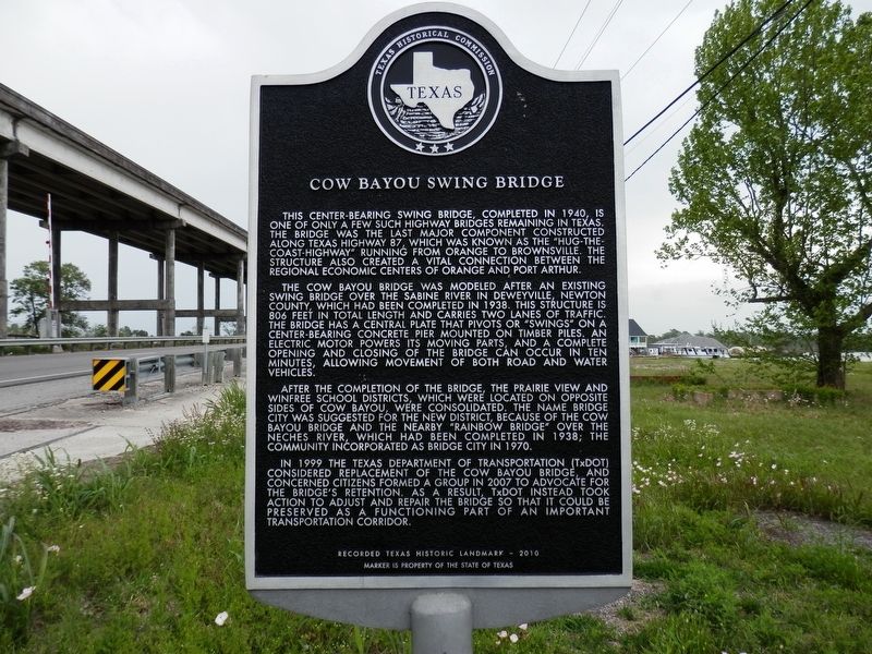
This center-bearing swing bridge, completed in 1940, is only one of a few such highway bridges remaining in Texas. The bridge was the last major component constructed along Texas Highway 87, which was known as the "Hug-The-Coast-Highway" running from Orange to Brownsville. The structure also created a vital connection between the regional economic centers of Orange and Port Arthur.
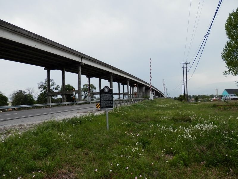
The Cow Bayou bridge was modeled after an existing swing bridge over the Sabine River in Deweyville, Newton County, which had been completed in 1938. This structure is 806 feet in total length and carries two lanes of traffic. The bridge has a center plate that pivots or "swings" on a center bearing concrete pier mounted on timber piles. An electric motor powers its moving parts, and a complete opening and closing of the bridge can occur in ten minuets, allowing movement of both road and water vehicles.
After completion of the bridge, the Prairie View and Winfree School Districts, which were located on opposite sides of Cao Bayou, were consolidated. The name Bridge City was suggested for the new district, because of the Cow Bayou bridge and the nearby "Rainbow Bridge" over the Neches River, which had been completed in 1938; the community incorporated as Bridge City in 1970.
In 1999 the Texas Department of Transportation (TxDOT) considered replacement
of the Cow Bayou bridge. and concerned citizens formed a group in 2007 to advocate for the bridge's retention. As a result, TxDOT instead took action to adjust and repair the bridge so that it could be preserved as a functioning part of an important transportation corridor.Recorded Texas Historic Landmark - 2010
Marker is property of the State of Texas
Erected 2010 by Texas Historical Commission. (Marker Number 16525.)
Topics. This historical marker is listed in this topic list: Bridges & Viaducts.
Location. 30° 2.619′ N, 93° 49.347′ W. Marker is in Bridge City, Texas, in Orange County. Marker is on Texas Avenue (State Highway 87/73) north of Bower Road, on the right when traveling north. Touch for map. Marker is in this post office area: Bridge City TX 77611, United States of America. Touch for directions.
Other nearby markers. At least 8 other markers are within 6 miles of this marker, measured as the crow flies. First Baptist Church (approx. 1.1 miles away); Winfree Baptist Church (approx. 1˝ miles away); Site Of World War II P.O.W. Camp (approx. 4.9 miles away); Absalom Jett (approx. 4.9 miles away); Old First Orange Baptist Church (approx. 5.1 miles away); Samuel H. Levingston (approx. 5.7 miles away); First National Bank of Orange (approx. 5.7 miles away); Samuel Wallace Sholars, M.D. (approx. 5.8 miles away).
Credits. This page was last revised on April 29, 2021. It was originally submitted on April 29, 2021, by Cajun Scrambler of Assumption, Louisiana. This page has been viewed 485 times since then and 83 times this year. Photos: 1, 2. submitted on April 29, 2021, by Cajun Scrambler of Assumption, Louisiana.

